Typhoon Man-yi
Philippines
Dates of acquisition:
• 2024.11.14 | 00:52:15 UTC
• 2024.11.15 | 01:04:49 UTC
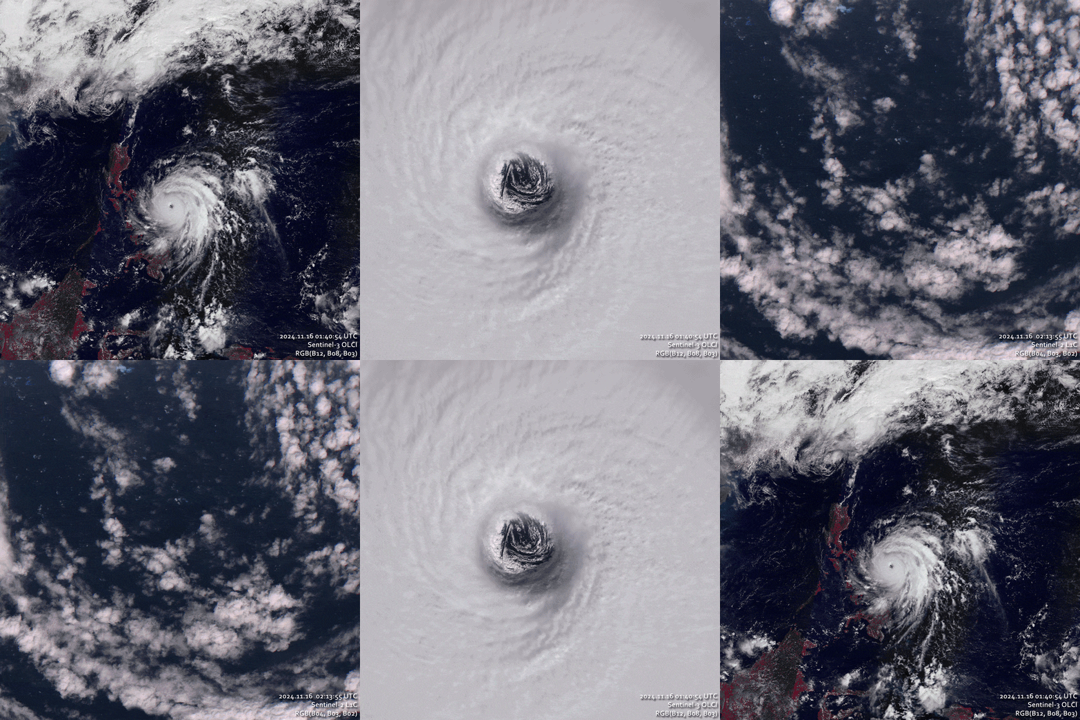
• 2024.11.16 | 01:40:54 UTC
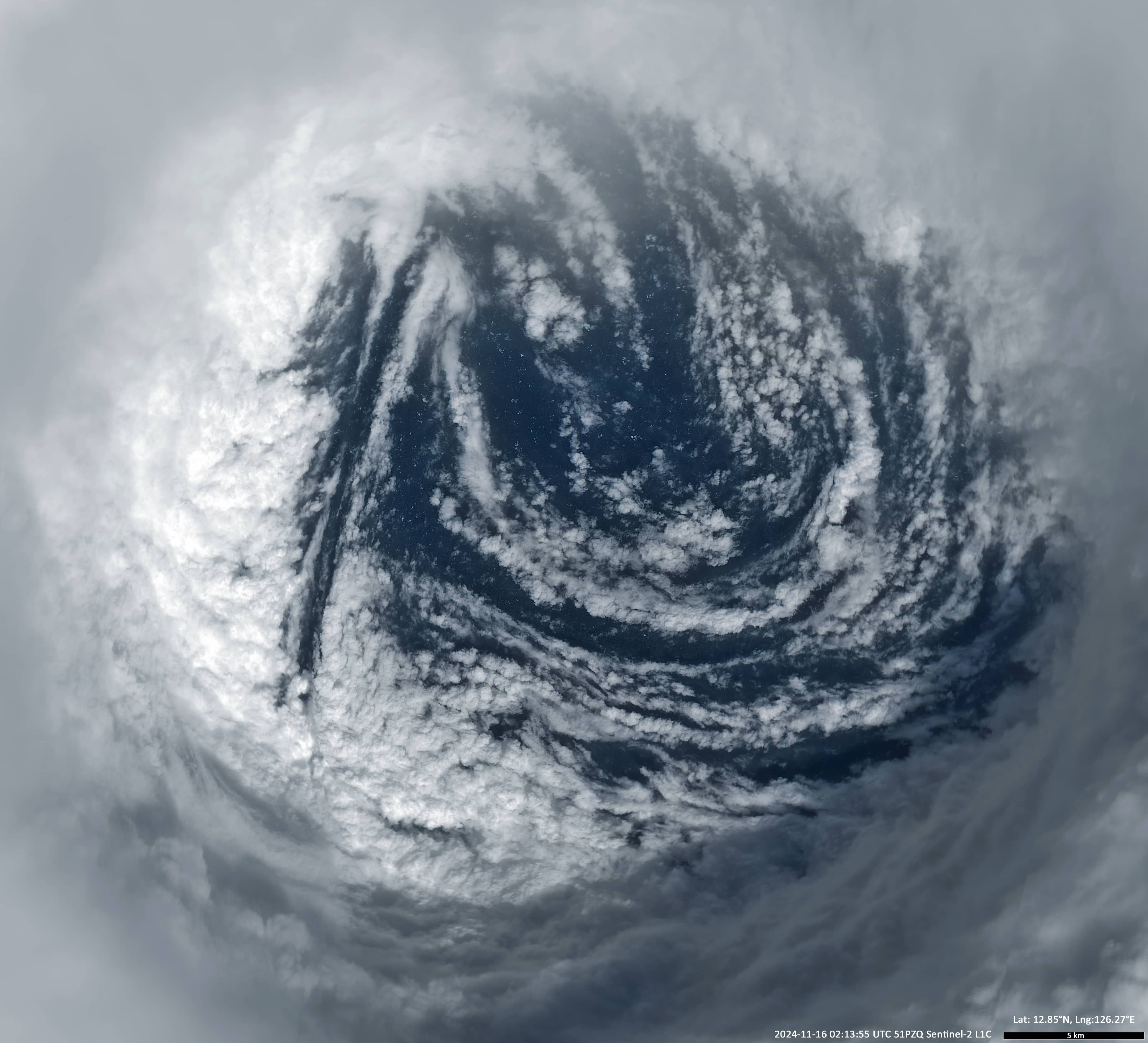
• 2024.11.16 | 02:13:55 UTC
• 2024.11.17 | 01:53:27 UTC
Sensors: Sentinel-3 OLCI, Sentinel-3 SLSTR, Sentinel-2 L1C
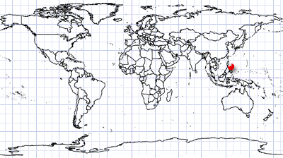
Coordinates: ca. 12.85°N, 126.26°E
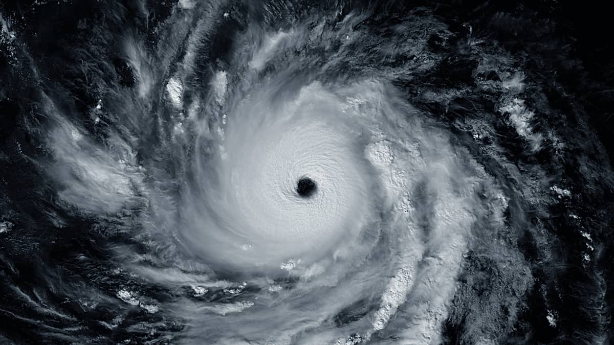
Typhoon Man-yi, known in the Philippines as Super Typhoon Pepito, was a strong and long-lived tropical cyclone that made landfall in the Philippines in early November 2024.
It developed on 8 and 9 November from an area of deep convection in the western Pacific and reached maximum strength on 16 November. It then weakened on its way to landfall, and was last observed in images on 19 November.
The following table gives rough estimates of the typhoon’s strength from 14 to 18 November.
| Date, Time, Satellite, Sensor: Sentinel-3 OLCI | Lat °N |
Lon °E |
Max sustained winds km/h |
Min atmospheric pressure at center hPa |
Approximate eye diameter km |
Approximate diameter of the system km |
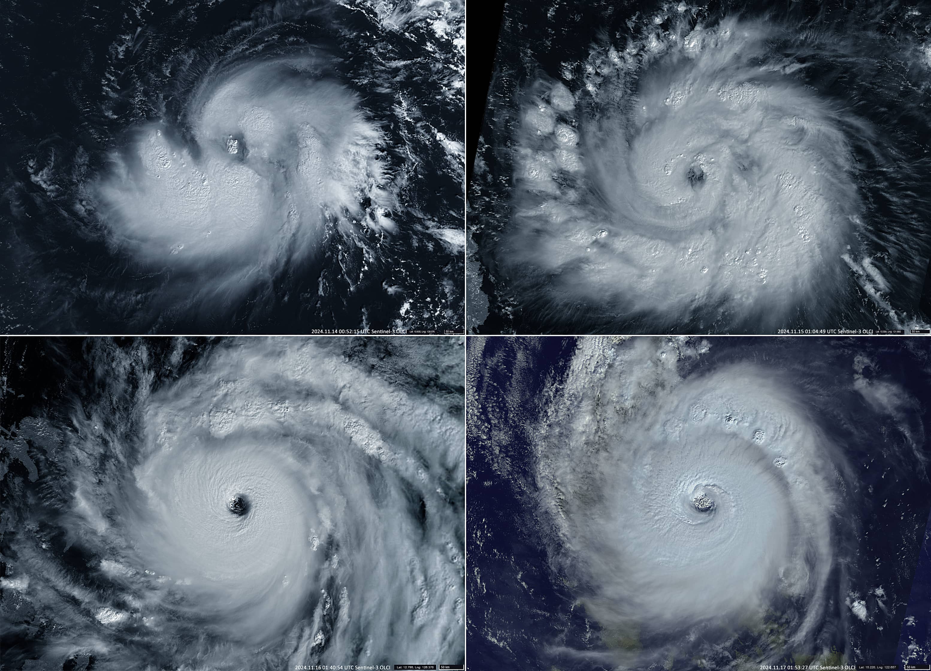
| 2024.11.14 00:52:15 UTC | 10.63 | 138.16 | 120 | 980 | – | 800 |
| 2024.11.15 01:04:49 UTC | 10.59 | 131.68 | 220 | 945 | 37 | 900 |
| 2024.11.16 01:40:54 UTC | 12.78 | 126.35 | 260 | 920 | 32 | 800 |
| 2024.11.17 01:53:27 UTC | 15.22 | 122.66 | 235 | 935 | 36 | 680 |
| 2024.11.18 02:26:32 UTC | 19.47 | 117.85 | 115 | 995 | – | 380 |
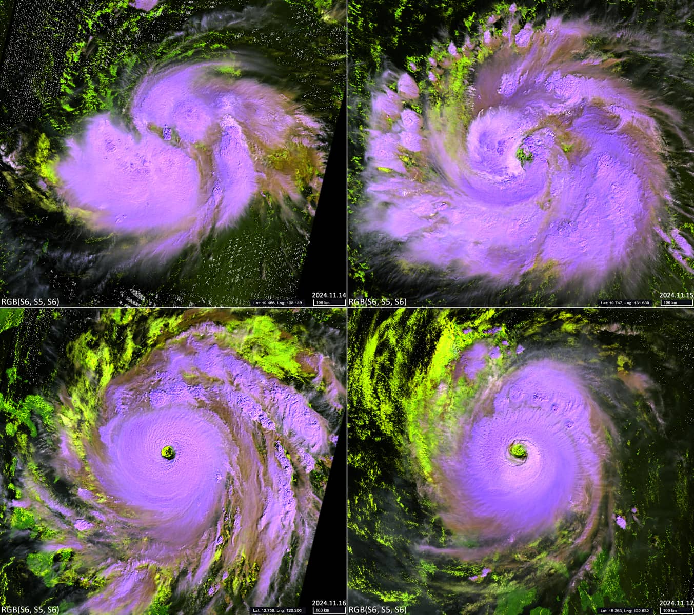
Figures 1 and 2 show Sentinel-3 OLCI visible-light and SLSTR near-infrared images of Man-yi from 14 to 17 November .
Figure 3 shows a high-resolution image of the eye of the typhoon on 16 November.
Figure 4 – An animated GIF simulating a flight into the eye of the typhoon and back.

