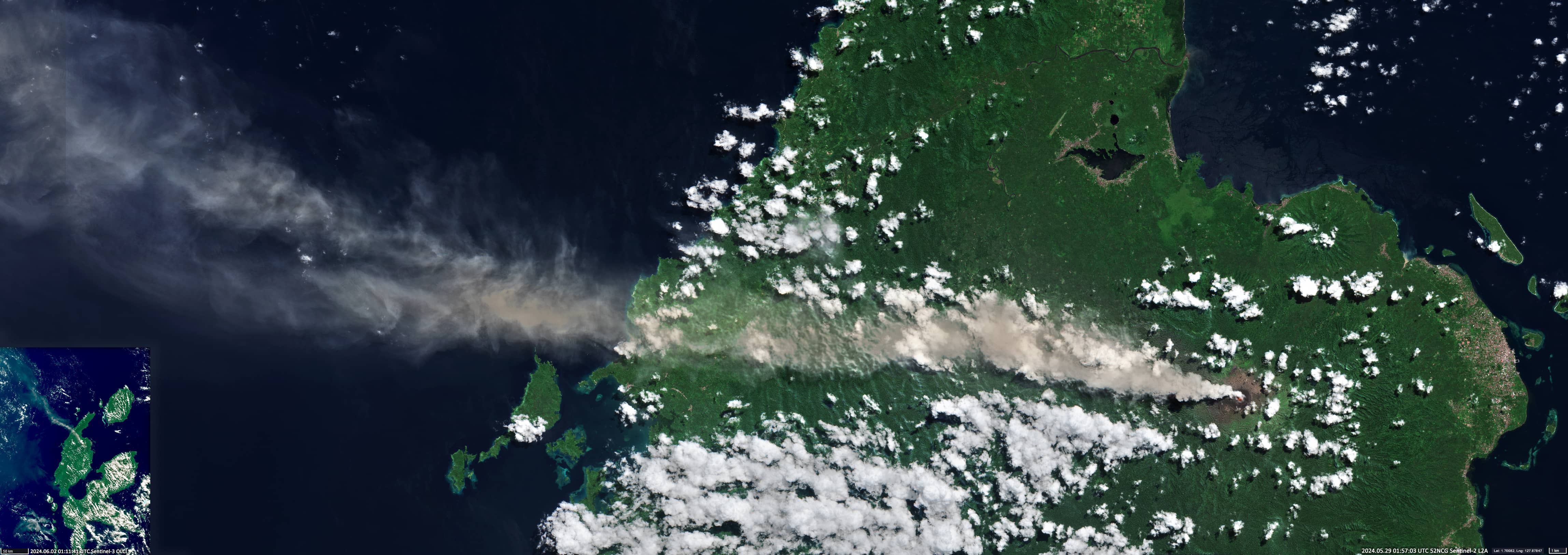
The Dukono Volcano
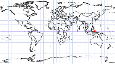
Halmahera Island | Maluku Utara, Indonesia
Dates of acquisition:
- May 29th, 2024 | 01:57:03 UTC
- June 2nd, 2024 | 01:11:41 UTC
Sensor: Sentinel-2 L2A, Sentinel-3 OLCI
Coordinates: ca. 1.6995°N, 127.8781°E
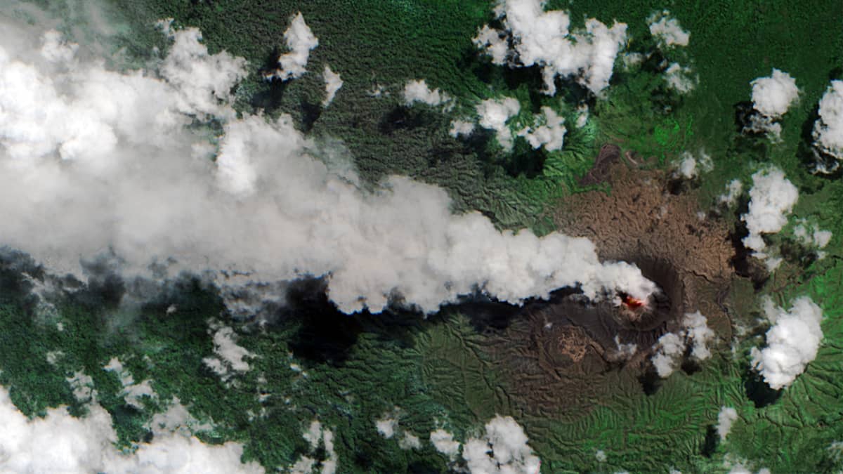
The Dukono volcano is located at the interface of the Pacific and Australian lithospheric plates on the inaccessible island of Halmahera, the largest of the Moluccas.
Its elevation above sea level is 1335 metres. Dukono is a complex andesitic volcano, with a broad, low profile, several adjacent summits and seven overlapping craters. The main crater measures 700×570 m.
It is one of Indonesia’s most active volcanoes . It has been erupting continuously since 1933, accompanied by frequent ash explosions and sulphur dioxide plumes. Current activity has been intermittent since October 2022. Ash and volcanic gas plumes of of varying densities are observed from month to month, usually rising an average of 400 to 800 metres above the summit. The highest ash plume recorded during this period reached 9.4 km above the summit. The last Dukono activity lasted from 22 to 28 May, when ash plumes rose to 1100 m.
Sentinel-2 images of the volcano are often obscured by clouds. However, several relatively clear sky images, particularly on 29 May, show a hot area of the main active crater and an ash and gas plume extending over 200 km to the northwest. A fragment from Sentinel-3 on 2 June is also shown.