Sandstorm over Arabian Sea
Gulf of Oman
Dates of acquisition:
• December 16th, 2024 | 06:43:02 UTC
• December 17th, 2024 | 06:43:02 UTC
Sensors: VIIRS SNPP, Sentinel-5P AER AI, Sentinel-2 L1C
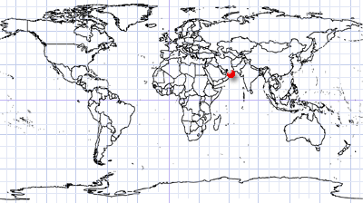
Coordinates: ca. 24°N, 60°E
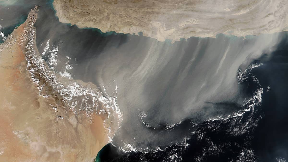
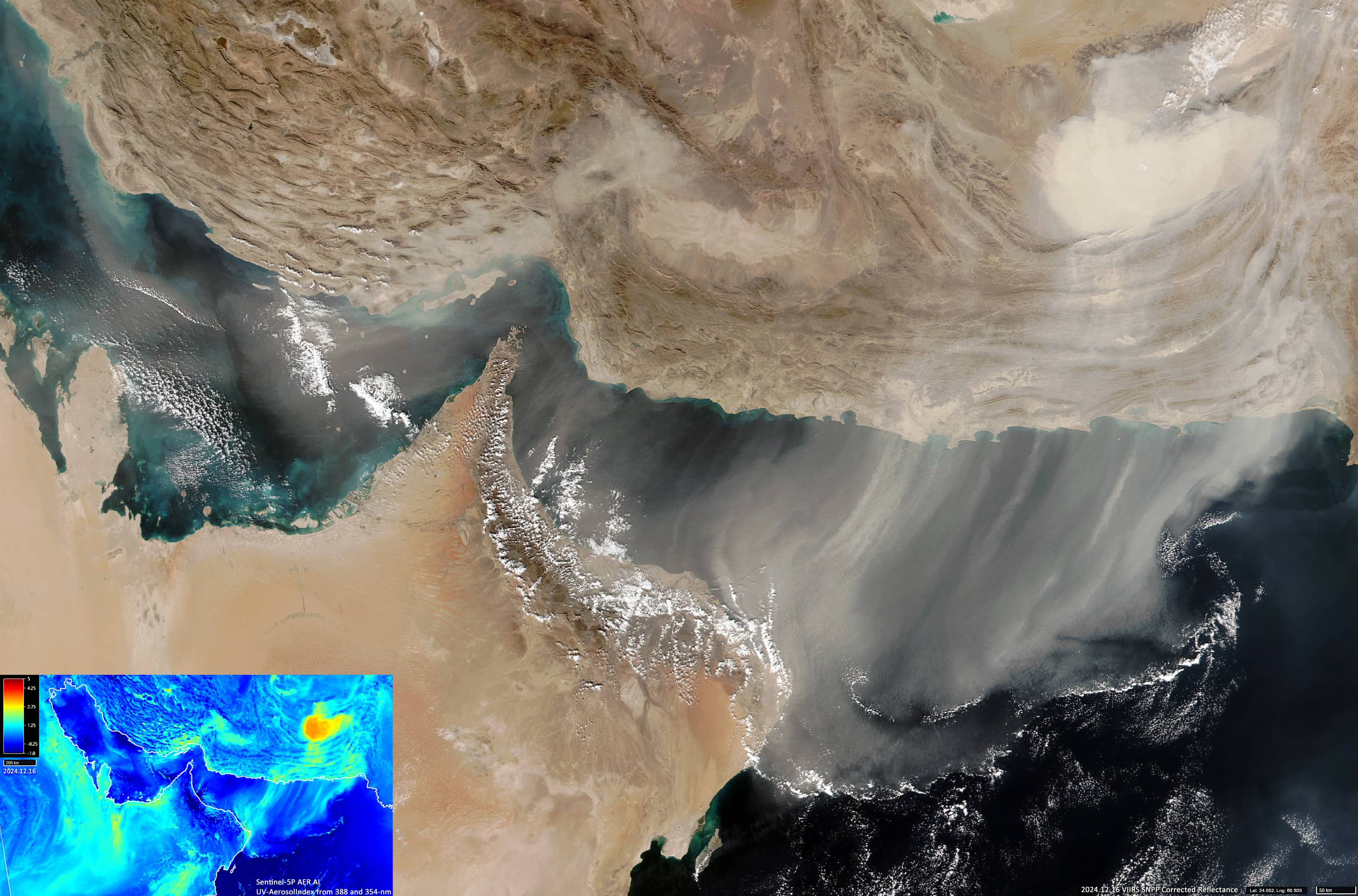
On 16 December, a strong sandstorm spread from southern Iran and Balochistan (southwestern Pakistan) across the western Arabian Sea and the Persian Gulf, covering more than 400,000 km2 (VIIRS SNPP image, Figure 1).
The highest aerosol concentration (aerosol Index up to 3-3.2) was observed over Balochistan, in the region of Washuk and Chagai Districts (about 28°N, 64°E) reaching an area of more than 50,000 km2 (VIIRS SNPP image, Figure 2).
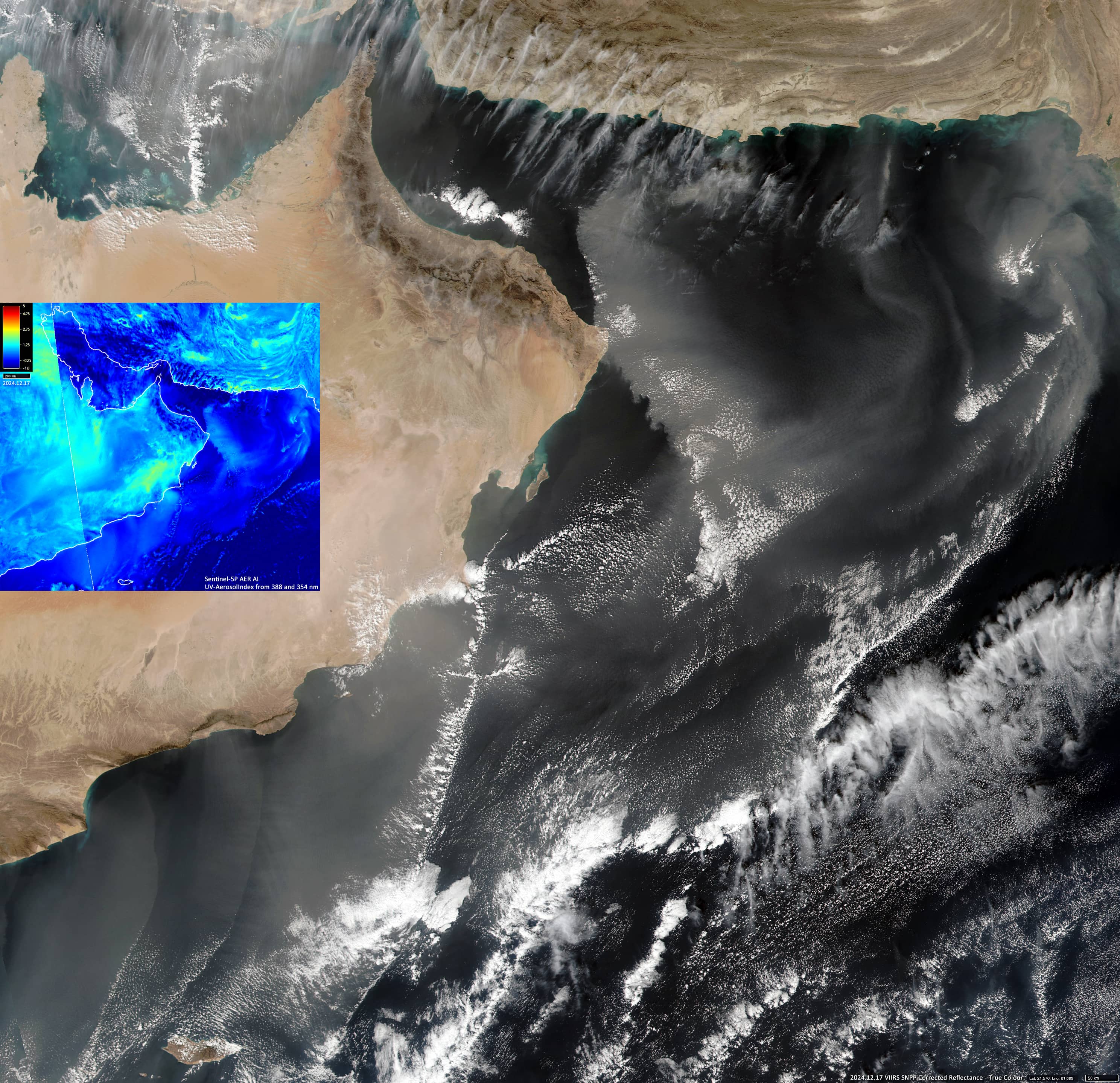
On 17 December, the aerosol area over the Arabian Sea alone exceeded 1.1 million square kilometres.
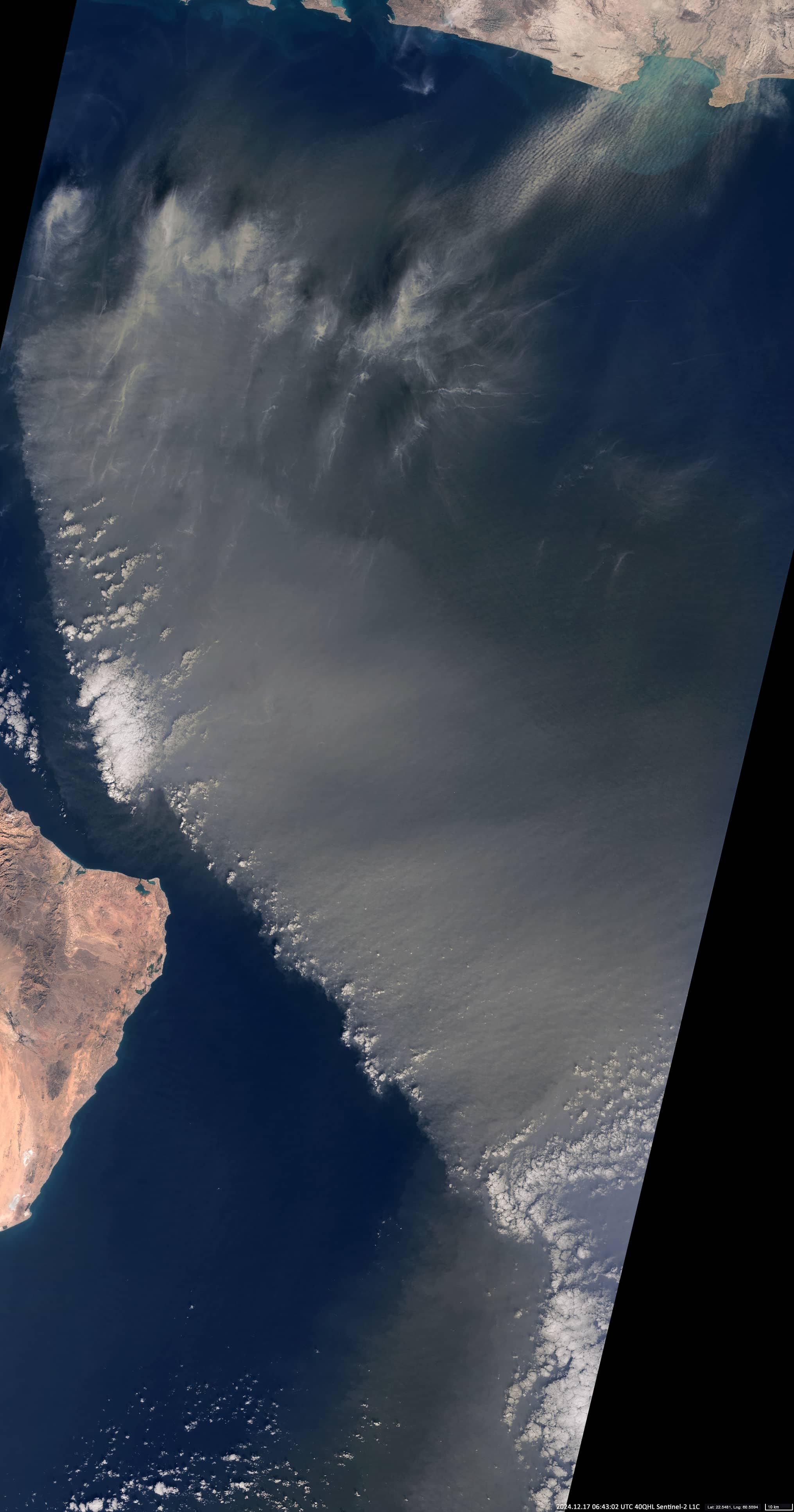
In addition, the Sentinel-2 image (17 December, Figure 3) shows the front of the dust cloud (Aerosol Index up to 0.8-1.0), approaching the coast of the Arabian Peninsula (Oman).

