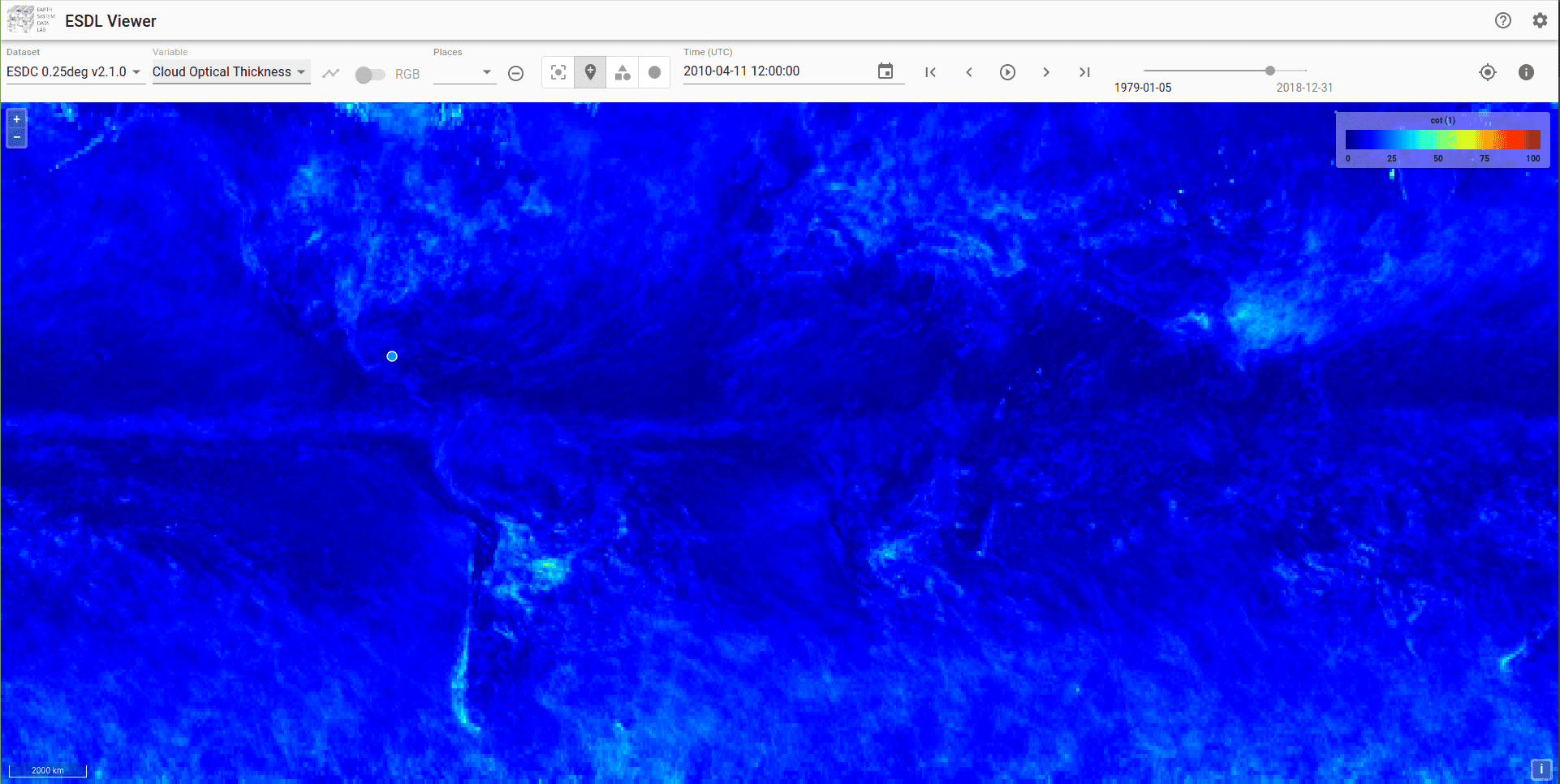
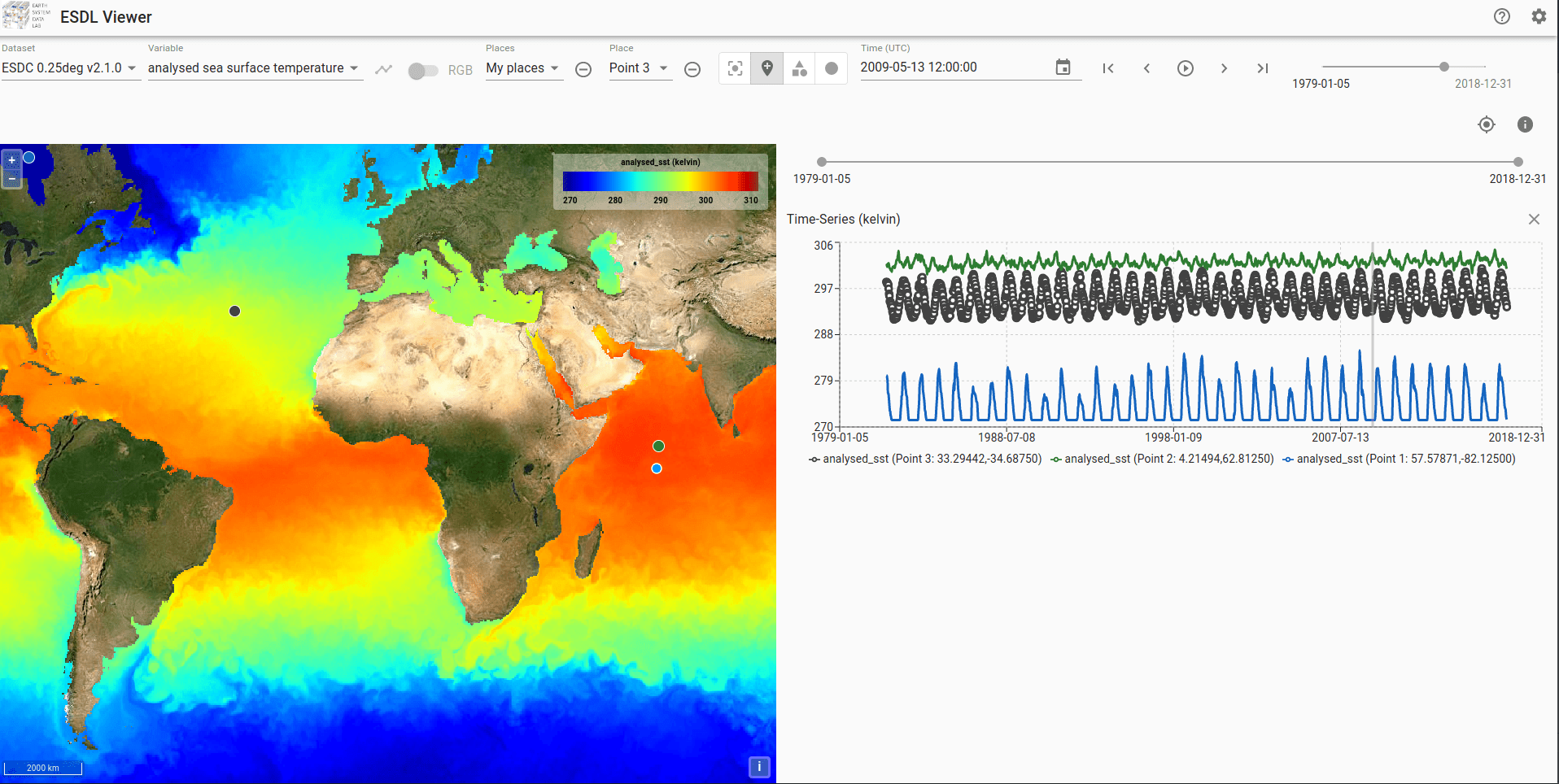
xcube is an Open Source software package for generating, managing and exploiting EO data cubes. The toolset has been developed to facilitate easy access to a vast amount of EO data in an analysis- ready fashion. It provides such data as grids in common spatio-temporal coordinate systems.
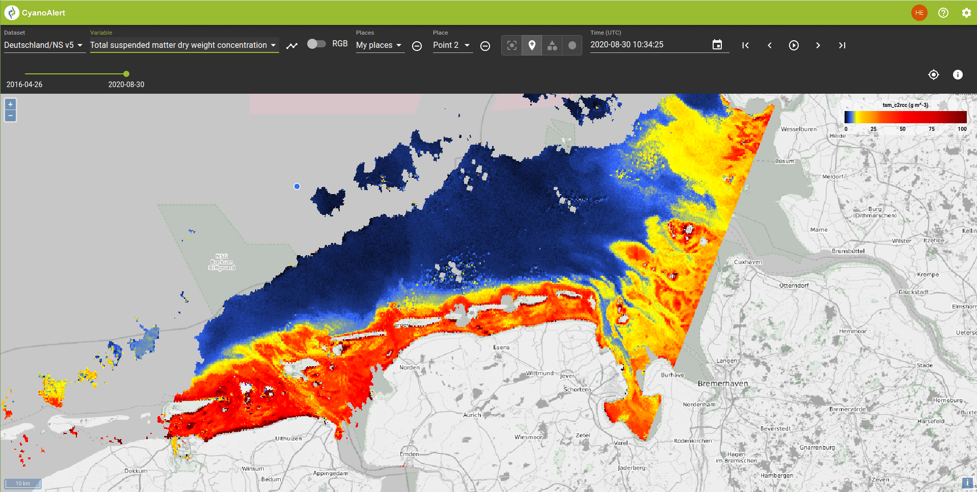
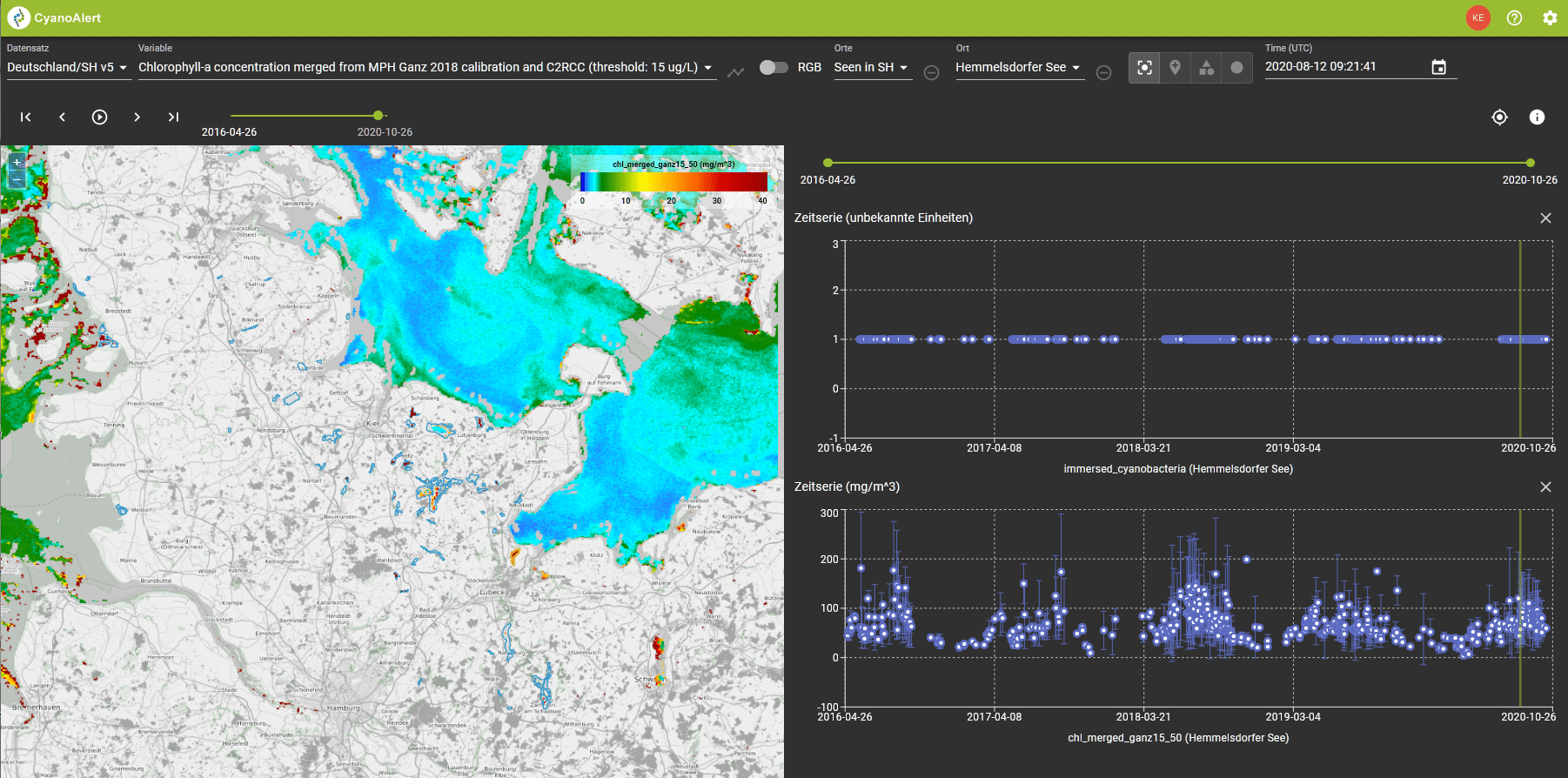
xcube is now the base of various affordable commercial as well as free services. It has been used for instance in CyanoAlert, a project funded within the European Commission’s Horizon 2020 program which helps addressing water quality concerns. In CyanoAlert, satellite images are analysed automatically to deliver tailored results and notifications via a simple-to-use web-based interface or a mobile app.
The above–mentioned project substantially benefits from xcube’s various features and interfaces: A Python client allows for creation and management of data cubes on the basis of EO data and other raster data. The xcube library builds on and extends the Python library xarray. In addition, xcube exploits the multi-threading capabilities of dask, a powerful library allowing for outsourcing threaded computations to a dedicated cluster in an almost configuration free manner.


