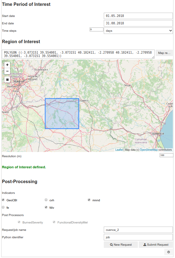
MULTIPLY is a practical, user-friendly software designed to provide scientists and non-scientists with an effective tool to generate and exploit land surface state data. It consists of a variety of interoperating open-source software packages that form the MULTIPLY platform. It is available for free as a VM for the MUNDI DIAS. With MULTIPLY you can produce surface information for regions of your own interest. You can choose the spatial and temporal resolution, display and analyse the results and even create time-series.
Based on Data Assimilation Principles, MULTIPLY combines and integrates multi-sensor data with prior information and state-of-the-art radiative transfer models to produce estimates of land surface parameters such as chlorophyll content, soil moisture or effective LAI. The data comes with quantified uncertainties and at user-defined spatial and temporal resolutions. The inferences are the result of a coherent joint interpretation of the observations from the different Sentinels as well as 3rd party missions (e.g., MODIS). If desired, post-processing steps may be applied to the inferred parameters.
MULTIPLY aims at stimulating the use of Copernicus Sentinel and other EO Data for climate, land use and vegetation modelling, e.g., to optimise crop yields within sustainable agricultural systems. The platform’s various task-dedicated components are managed by an elaborate orchestration scheme.
MULTIPLY has components


