Land Structures in West Kazakhstan
Western Kazakhstan | Eastern Europe
Dates of acquisition:
• 2024.12.08 | 06:56:14 UTC
• 2024.11.28 | 06:56:15 UTC
• 2024.03.03 | 06:56:10 UTC
• 2024.03.03 | 06:33:57 UTC
Sensors: Sentinel-2 L2A, Landsat 8-9 L2
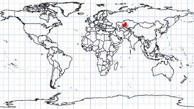
Coordinates: ca. 47.78°N, 64.11°E
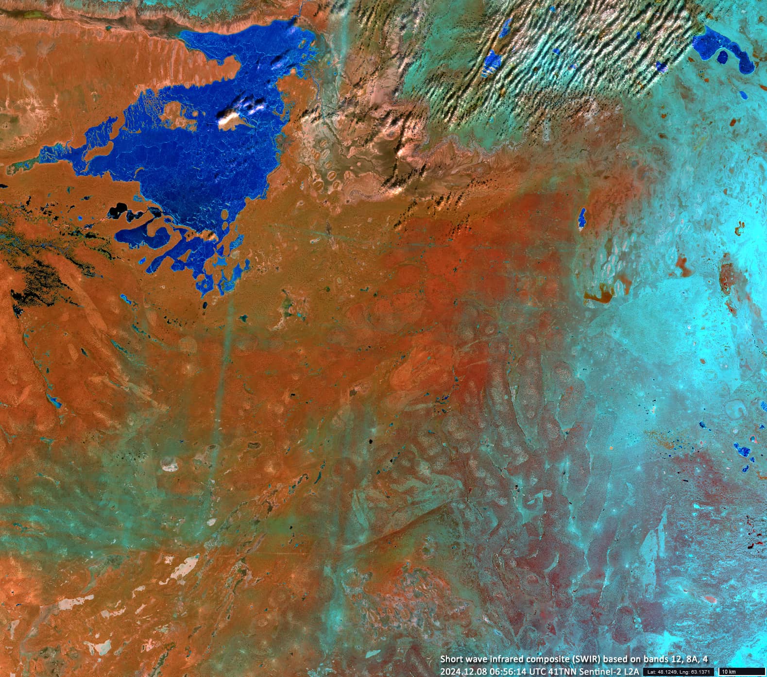
Shalkarteniz (in Kazakh it means: a boundless sea) is a bitter-saline seasonal lake that exists on average only a few months a year and lies in an endorheic basin at the bottom of a plain on the southern edge of the Turgai Depression in western Kazakhstan. When it is filled with water, the lake is up to 3 metres deep and reaches a size of up to 1800 km².
Deserted, uninhabited areas lie to the south of the depression.
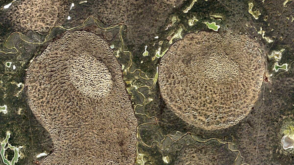
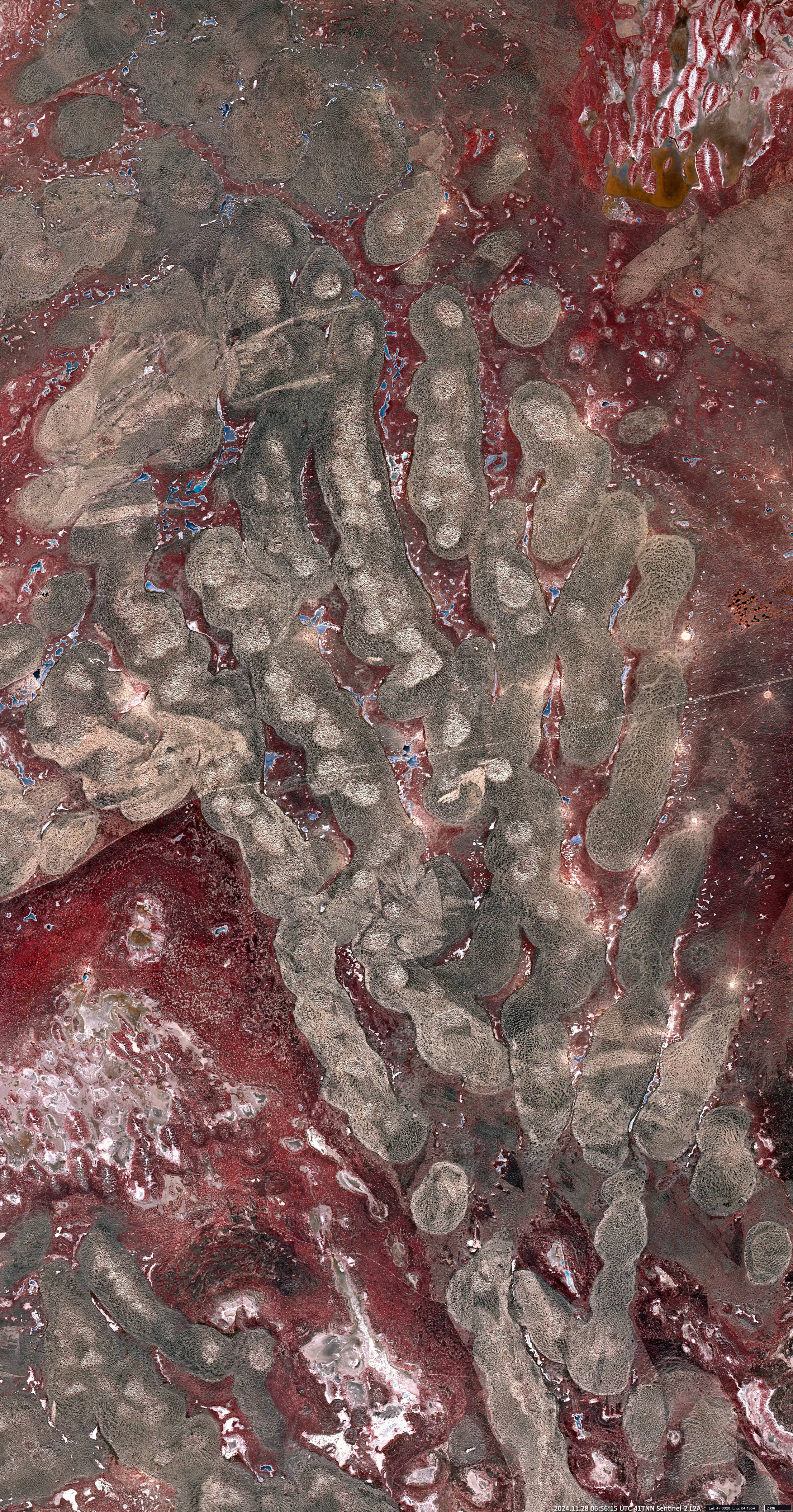
In the southwest of the lake, interesting structures resembling tamarind pods can be seen on the surface. In fact, the relief here consists of chains of hills and brackish sand ridges formed by Cretaceous and Paleogene deposits. In the Pliocene and Pleistocene this area was the bottom of the vast Turan Sea.
Figure 1, taken by the Sentinel-2 satellite and visualised using the SWIR region, shows a lake that begins to freeze (dark blue) and the structures mentioned above (red with cyan) lightly covered with snow.
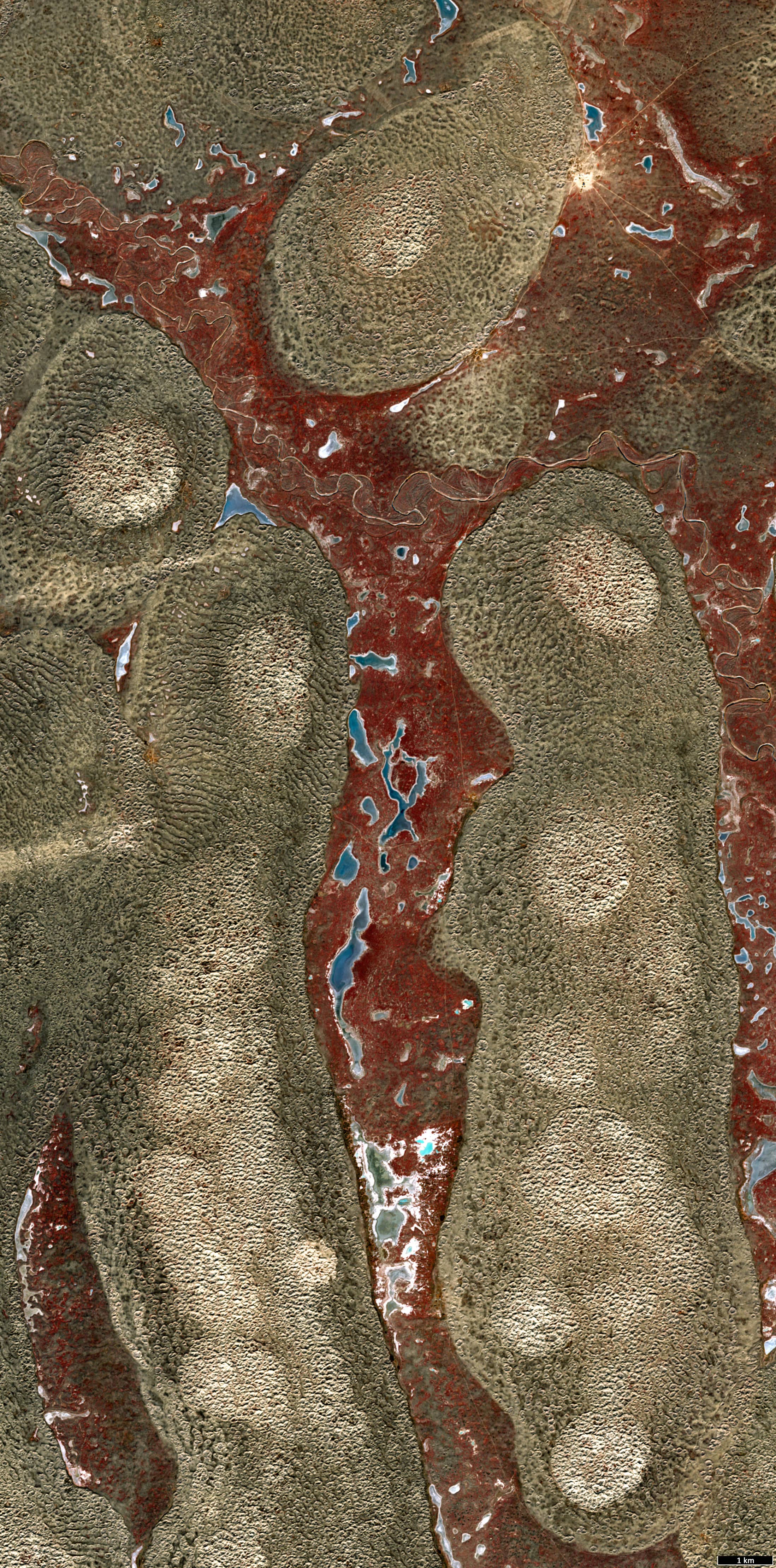
In Figure 2, taken in late November before the snowfall, these structures are shown in a false colour composite based on bands 8,4,3, where they stand out particularly well against the general background. Figure 3 is an enlarged section of Figure 2.
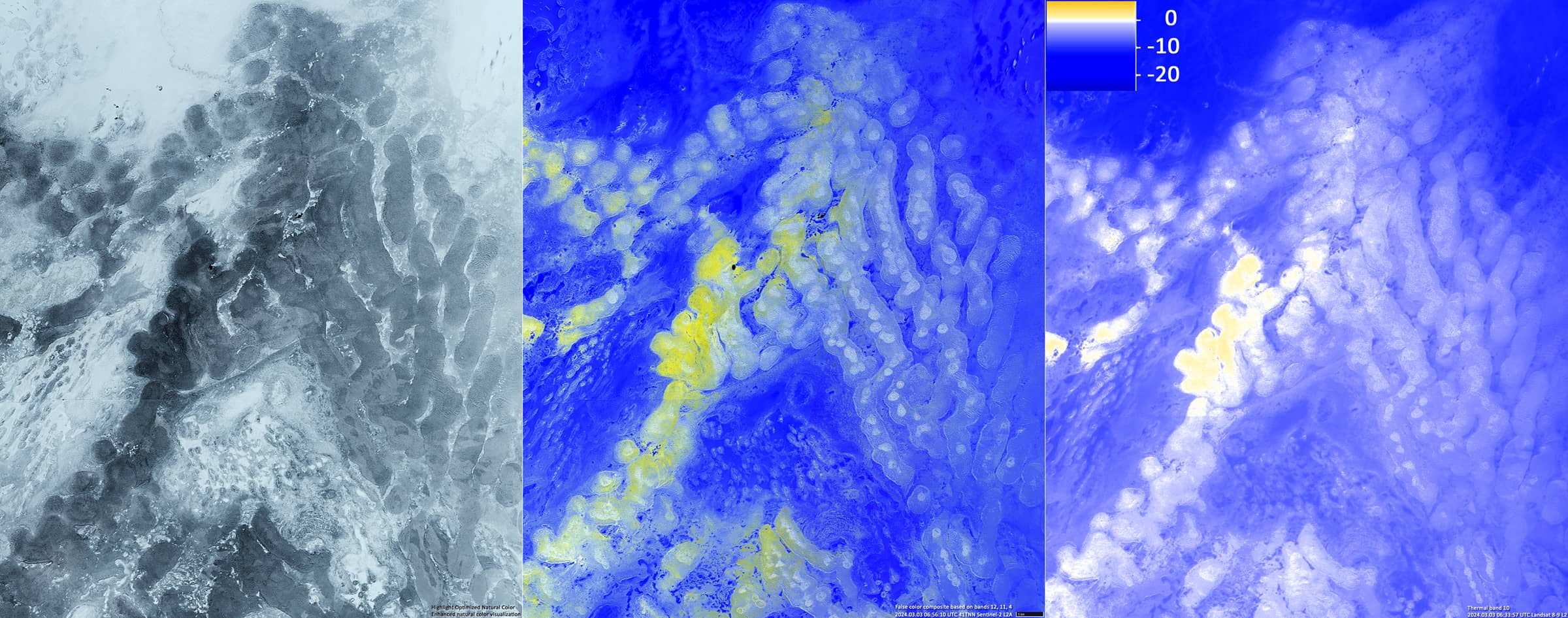
Finally, the images of Figure 4, taken at the beginning of March of 2024, show that the structures mentioned above also stand out well against the snow background, both in the visible and in the shortwave infrared (bands 12,11,4).
Thermal band 10 of the Landsat 8-9 satellite shows that their temperature is usually slightly higher than that of their surroundings.

