Fingerprints on the ocean surface
Quirimbas Islands | North-east coast of Mozambique
Date of acquisition: December 12th, 2024 | 07:43:02 UTC
Sensor: Sentinel-2 L2A
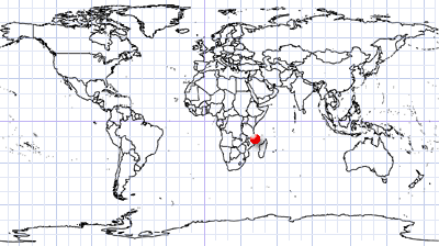
Coordinates: ca. 11.6°S, 40.55°E
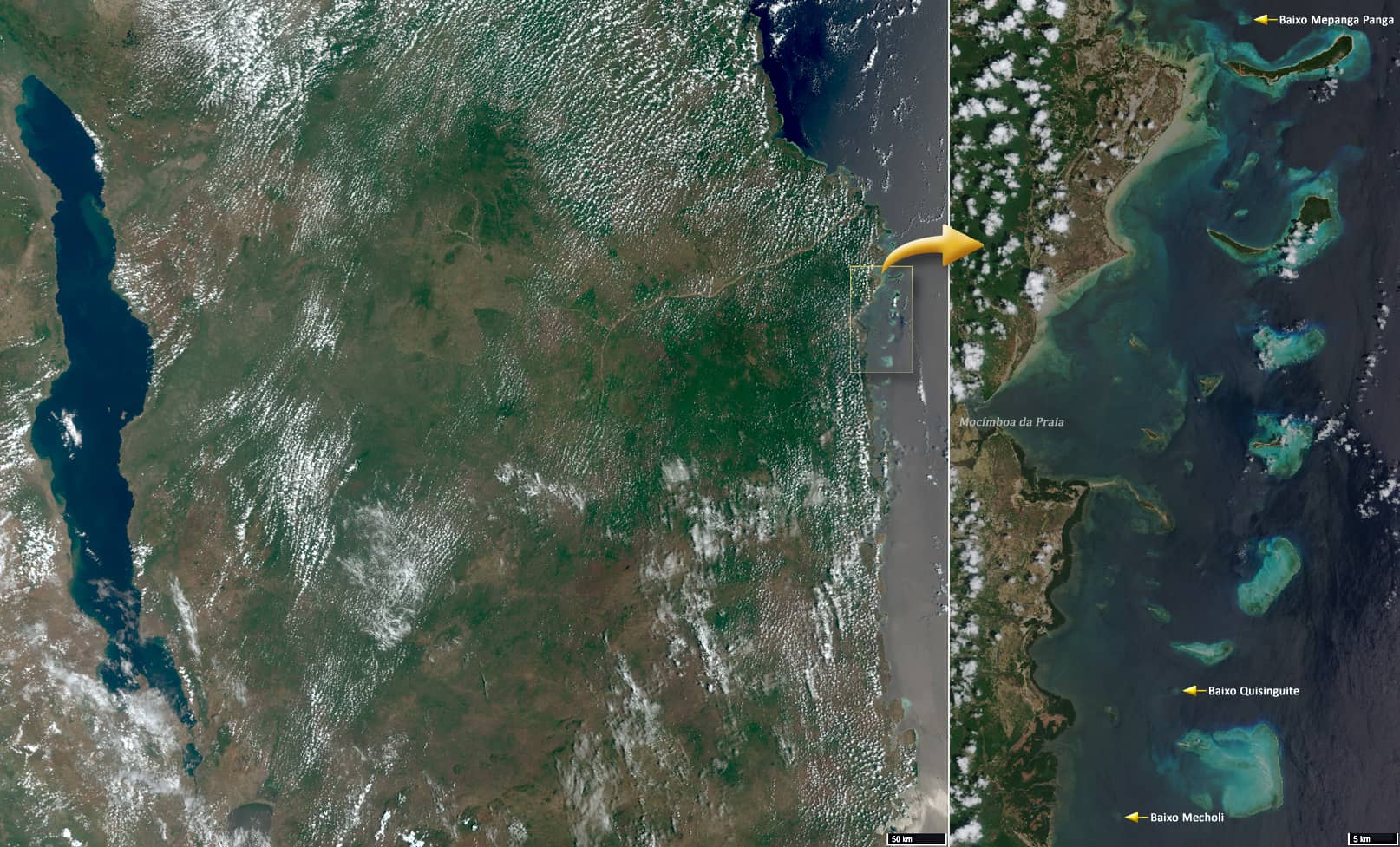
The Quirimbas Islands are located in the Indian Ocean off the north-east coast of Mozambique, in the province of Cabo Delgado, opposite the town of Mocimboa da Praia. The archipelago consists of about 32coral islands and several shallows – baixos – that lie almost on the surface of the water (Figure 1).
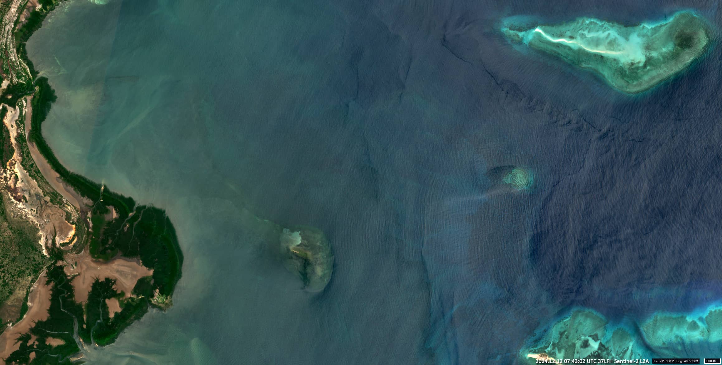
Around the islands, the depth of the sea decreases, so that the amplitude of the waves coming from the west, from the Indian Ocean, increases. These waves are clearly visible in the Sentinel-2 images when the sun is in the right position (Figure 2).
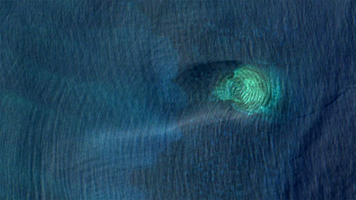
Depending on the height of the tide, the distance between some shoals and the ocean surface can be so small that waves are reflected off the surface of the shoal, creating an interference pattern on the water surface above the shoals. In some cases this pattern resembles human fingerprints.
It should be noted that these “prints” change over time, so it is not possible to identify the corresponding shoals from the prints.
We present here (Figure 3) three “prints” from Baixo Mepanga Panga (10.9853°S, 40.6157°E), from Baixo Quisinguite (11.5902°S, 40.5528°E), which is ~68 km to the south, and from Baixo Mecholi (11.7041°S, 40.5004°E), which is ~14 km further south.


