Eruption of Stromboli
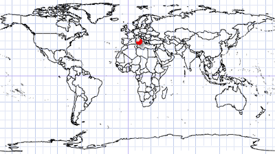
North of Sicily | Tyrrhenian Sea
Dates of acquisition:
- July 5th, 2024 | 09:59:50 UTC
- July 11th, 2024 | 09:59:50 UTC
- July 12th, 2024 | 09:41:12 UTC
- July 15th, 2024 | 09:35:02 UTC
Sensor: Sentinel-2 L1C, Landsat 8-9 L1
Coordinates: ca. 38.804°N, 15.223°E
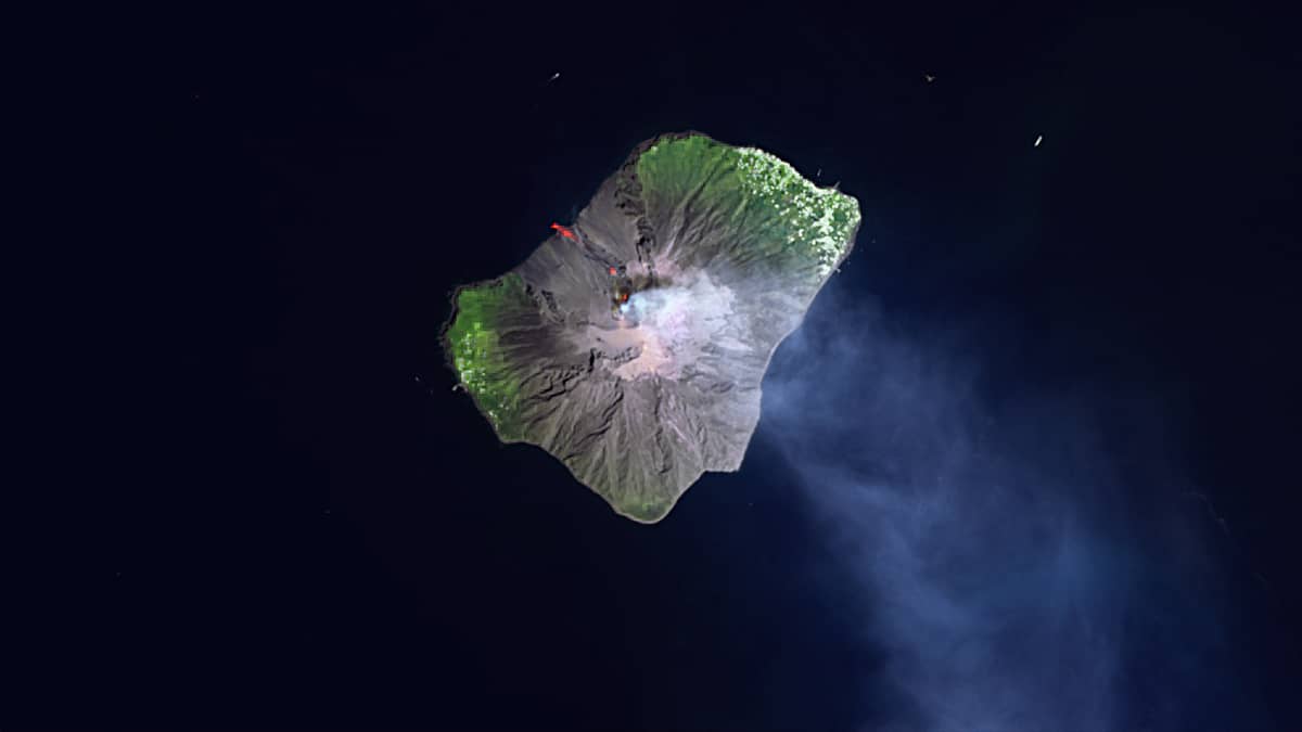
Stromboli, an island in the Tyrrhenian Sea, is part of the Aeolian Islands archipelago and is located about 60 km north of the coast of Sicily. The volcano of the same name, which rises to about 900 meters, is one of the most active volcanoes in the world. It is part of a large geologically active area in southern Italy between the Bay of Naples and Sicily, where two tectonic plates meet: the tip of the African Plate is pushing under the Eurasian Plate.
The volcano spews lava, stones and ash several times an hour with many small explosions. Such continuous eruptions are known as “strombolian“. The reason for this behavior is a combination of viscous lava containing titanium and iron and a large number of gas bubbles that burst when they reach the surface, spraying the lava into the air.
There are two villages on the island: Stromboli in the north-east and the smaller Ginostra in the south-west. The island was a popular destination for tourists who climbed the volcano at night, when the explosions were clearly visible against the dark sky. However, after a major explosion in 2019, the summit, which has several craters, was closed to the public.
Normally, lava and volcanic bombs usually roll down Stromboli’s northwestern slope , the “Sciara del Fuoco” (fire slide), into the sea. However, with the volcano’s increased activity since the end of June, small earthquakes and explosions have become more frequent and there was a risk of possible pyroclastic flows.
However, after a period of activation, the volcano’s activity began to decline.
The Sentinel 2 and Landsat 8-9 satellite images show a period of increased activity on 5 July. For comparison, the quieter state of the volcano is shown on 11 and 17 July.


