Eruption of Anak Krakatau Volcano
Krakatoa Archipel | Indonesia
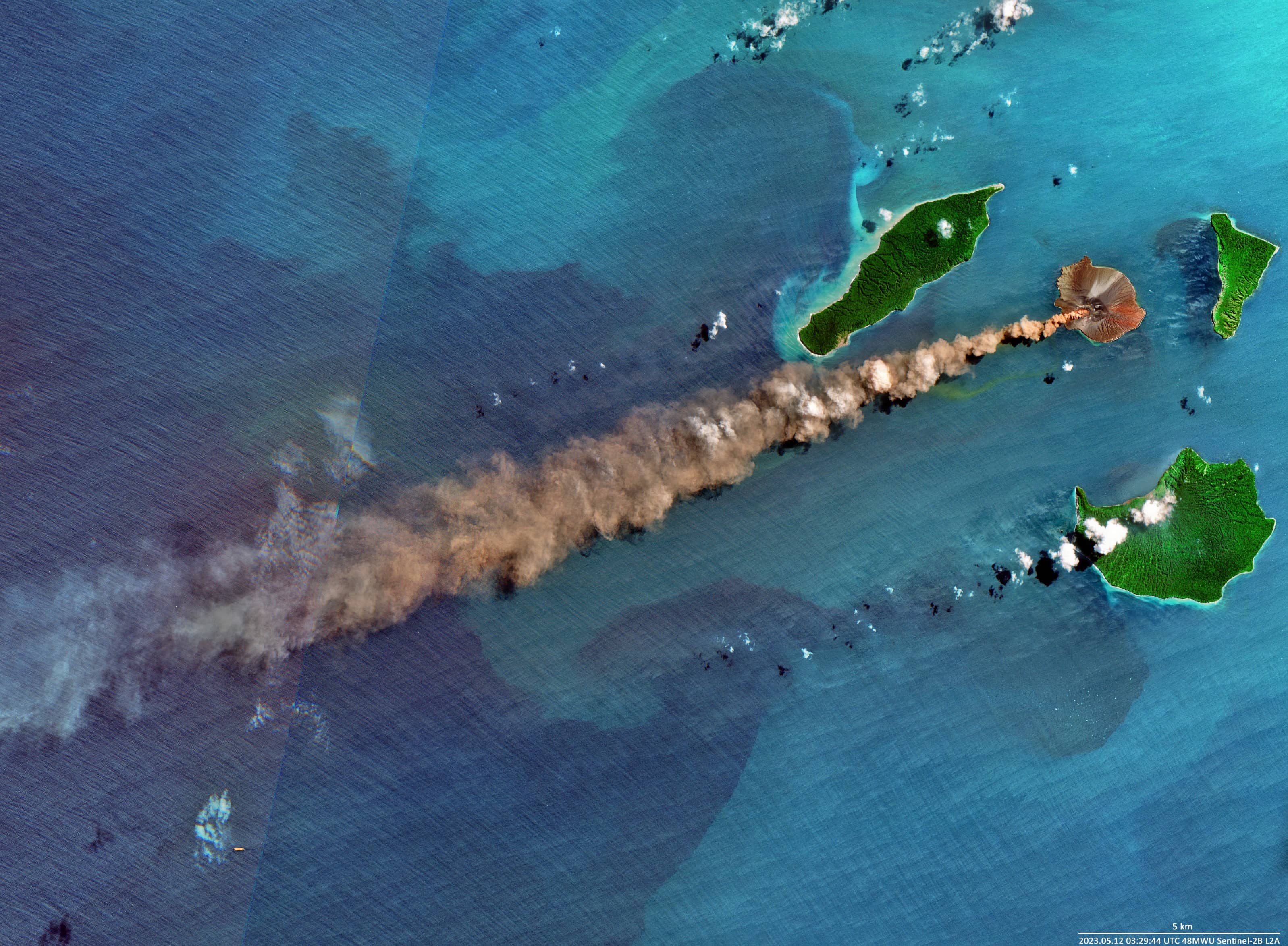
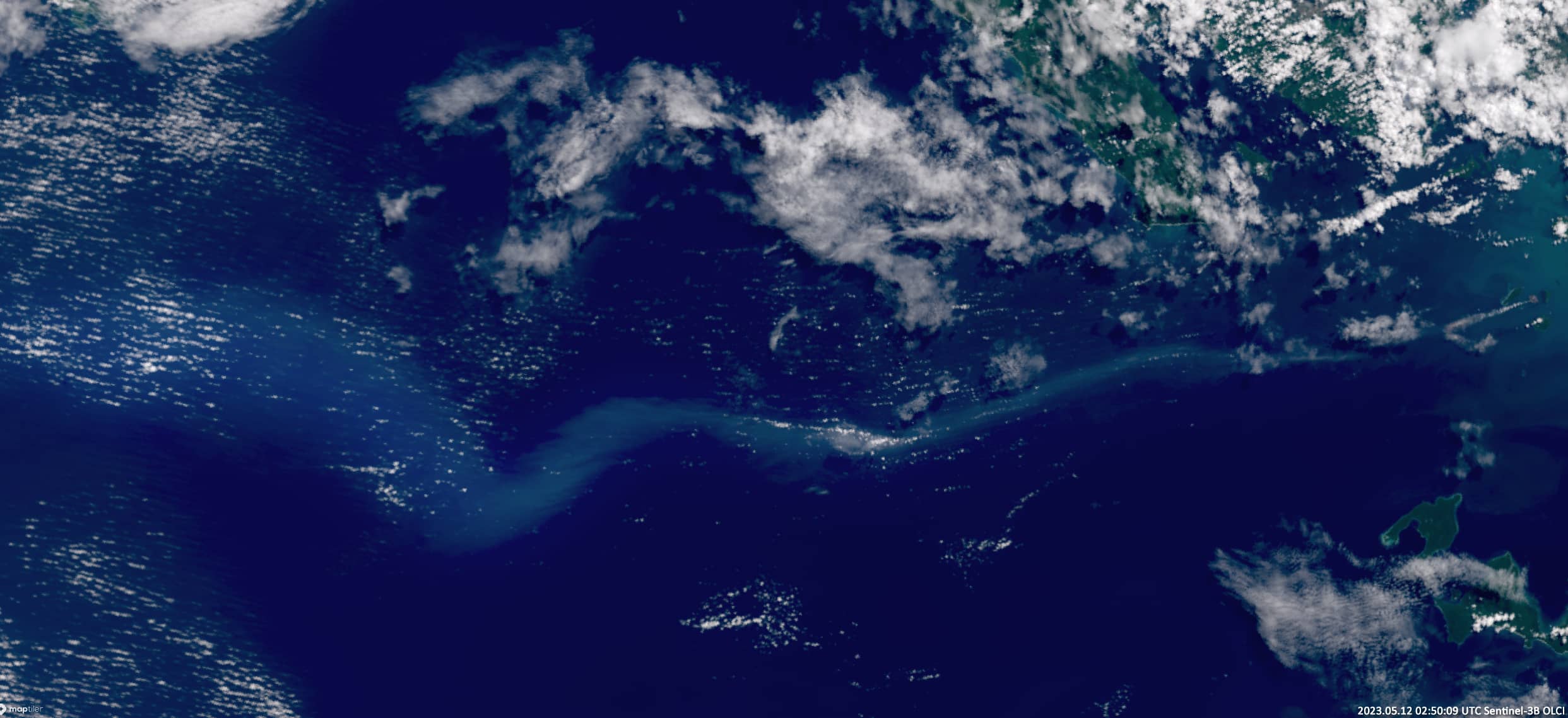
Date of acquisition: May 12th, 2023 | 03:29:44 UTC & 02:50:09 UTC
Sensors: Sentinel-2B L2A; Sentinel-3B OLCI
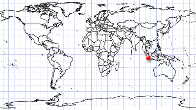
Coordinates: 6.102778°S, 105.423056°E
Krakatoa is a stratovolcano that erupts repeatedly, accompanied by massive explosions and emissions of huge amounts of ash. One of the strongest eruptions occurred in 535, which presumably led to the separation of the islands of Java and Sumatra and even caused global climatic effects to the entire world. Krakatoa’s most famous and catastrophic eruption took place in 1883. This catastrophe destroyed most of the island and the resulting tsunami killed more than 36,000 people. The volcanic ash raised in the atmosphere to a height of 55 km and was spread over an area of about 800 thousand km².
In 1927, another eruption occurred under water at the site of the destroyed volcano. The new volcano, named Anak-Krakatoa (“Child of Krakatoa”), rose 9 m above sea level within a few days, but was quickly eroded by the sea. In 1930, when lava flows from the mouth of the volcano and poured out in greater quantities than the waves and the wind took away, the volcano finally conquered this part of the sea again. The cone of the volcano reached a height of 67 m in 1933 and 138 m in 1950 but was eroded several times. The new cone grew by 30 m in 1960 and reached a height of 181 m in 1977.
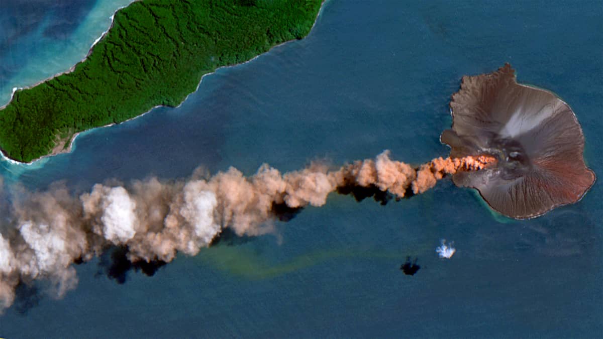
The latest eruptions began on May 10th, 2023, and intensified on May 12th, causing an ash cloud to rise to a height of 3 km. A series of earthquakes with a magnitude about 5 and a hypocentre at a depth of 35 km to the west of the Sunda Strait, which preceded the eruptions, may be related to them. An ash cloud is clearly visible in the image from the Sentinel-2 satellite, which fortunately flew past the smoking volcano at the moment of the clear sky. An other image taken by Sentinel-3 on May 12th shows the spread of a plume of volcanic ash in a westerly direction with a length of about 400 km.


