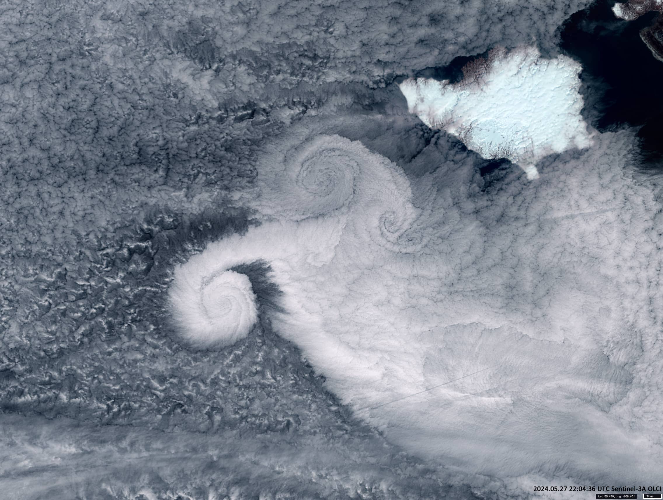
Clouds over Bering Sea
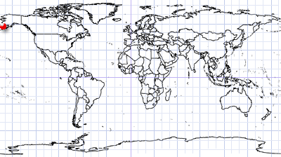
North of Aleutian Islands | Bering Sea
Date of acquisition: May 27th, 2024 | 22:04:36 UTC
Sensors: Sentinel-3 OLCI, Sentinel-3 SLSTR
Coordinates: ca. 55.4°N, 168.5°W
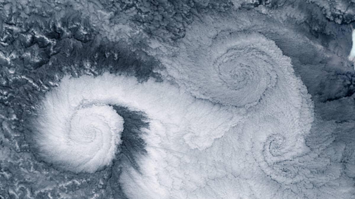
Relatively cold air from the mountains of western Alaska quickly spread westward over the warmer waters of the Bering Sea and intruded the calm air masses southwest of Nunivak Island. This occurred at an altitude of 1.5 to 2 kilometres in a field of dense stratocumulus clouds. The intrusion led to the formation of a cyclonic vortex southwest of this airflow, and a mushroom-shaped front north-east of it (Figure 1). This front itself consists of two fractal-shaped isomorphic fronts. Its formation was influenced by the proximity of land, Nunivak Island, which is covered with snow and ice.
Nunivak Island has an area of 4227 km² and it is the second largest island in the Bering Sea.
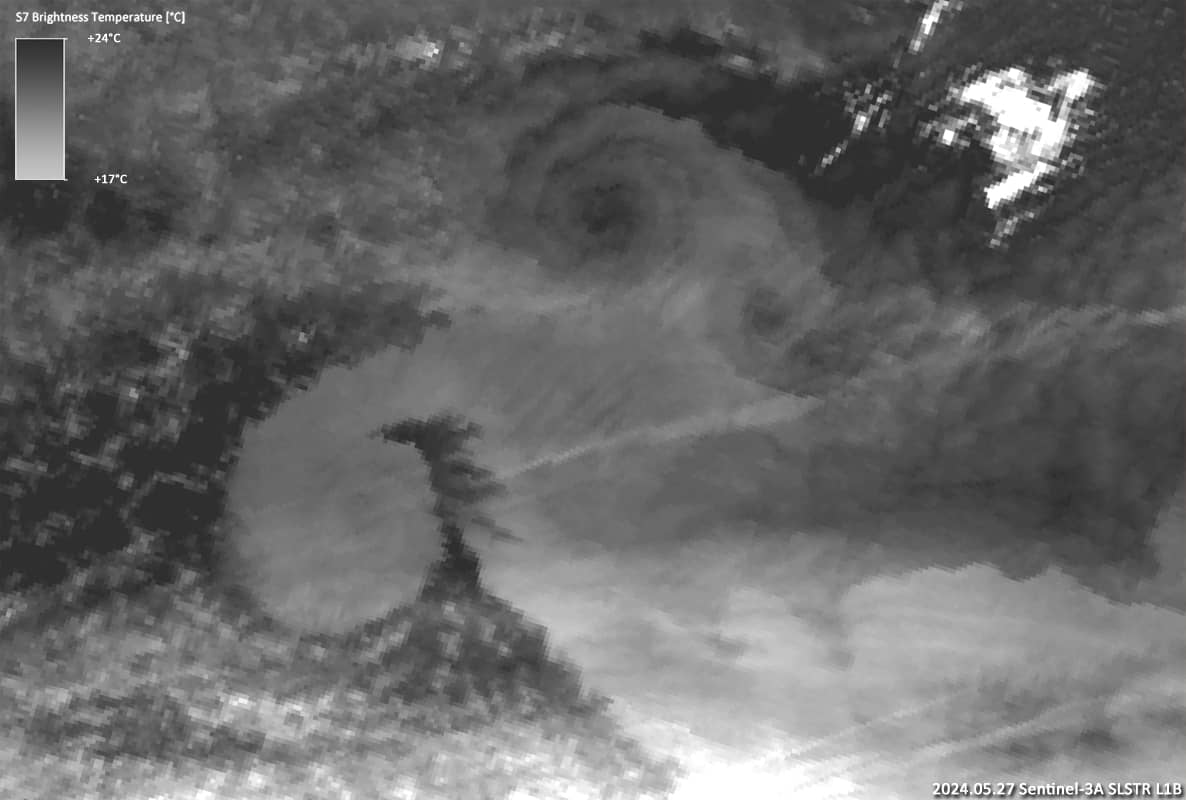
A simultaneous image from the SLSTR (Figure 2) in the thermal infrared is also shown.