Eddies off Makran coast
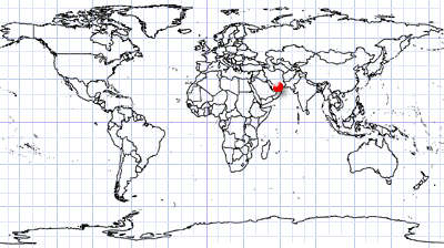
Gulf of Oman | Southeast Iran
Date of acquisition: January 4th, 2025 | 06:52:21 UTC
Sensor: Sentinel-2 L2A
Coordinates ca.:
- 25.55°N, 58.12°E
- 25.37°N, 59.01°E
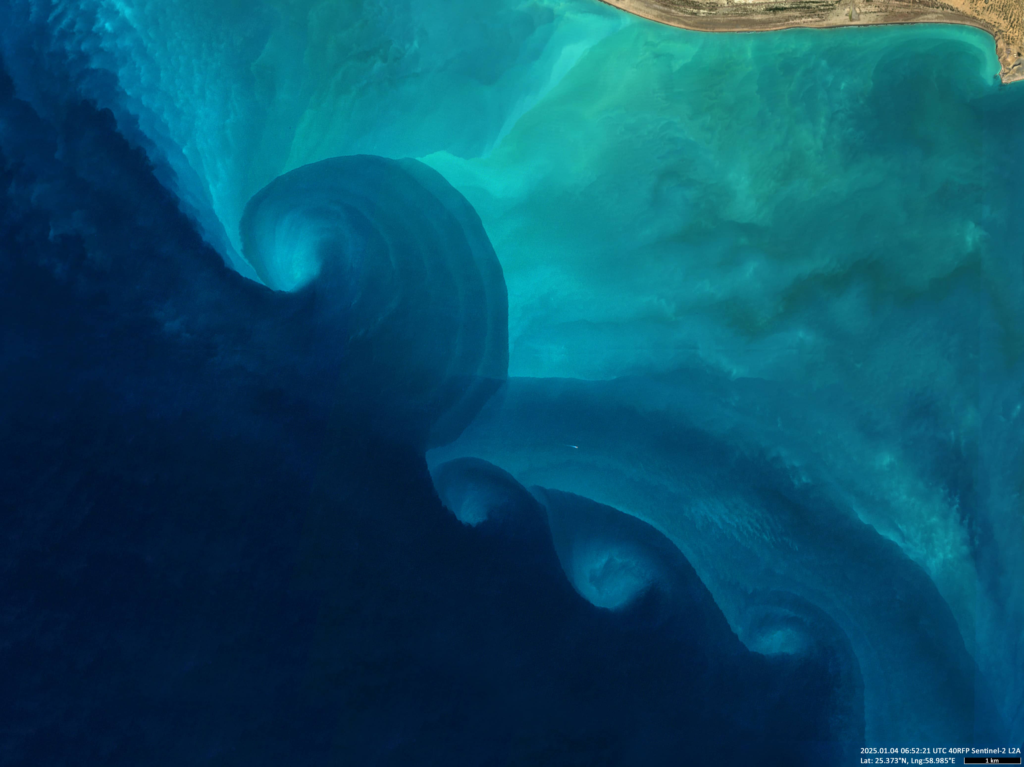
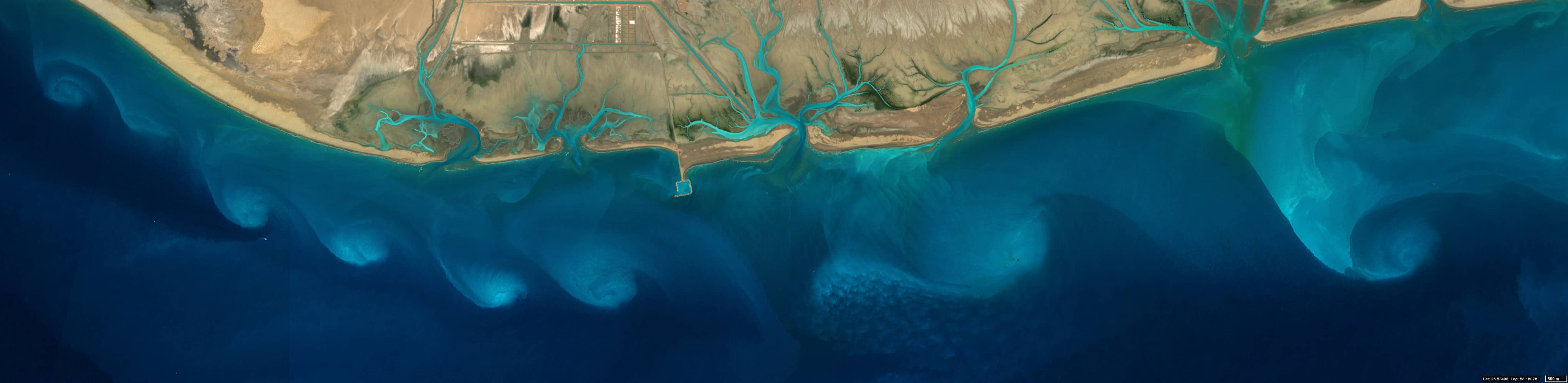
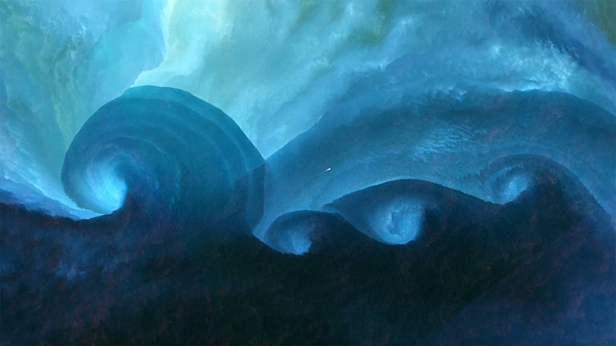
The Sentinel-2 image shows spectacular eddies in the coastal waters of the northern Gulf of Oman (خليج عُمان). They are located along the Makran Coast (مکران), which stretches from the western Gulf of Oman in the Iranian province of Hormozgan to the east of the Pakistani province of Balochistan. This region is one of the driest in the world and is sparsely populated. The bottom of the Gulf south of this coast is an active subduction zone (a zone on the boundary of colliding tectonic plates where the Earth’s crust is subducting under another plate).
The eddies visible in the water due to the presence of sediments are the result of the interaction of ocean currents over the deep waters of the Gulf of Oman (dark blue water) and the shallow sediment-filled coastal waters (light blue and cyan water).
Figure 1 shows the eddies off the central part of the Makran coast.
Figure 2 shows eddies off the eastern part. Here, the presence of an eddy chain may indicate the Kelvin-Helmholtz instability, which occurs when two water currents in contact have a sufficient difference in velocity.