Flood on Mundeswari River
West Bengal | Eastern India
Date of acquisition: September 20th, 2024 | 04:52:13 UTC
Sensor: Sentinel-2 L2A
Coordinates: ca. 22.7°N, 87.9°E
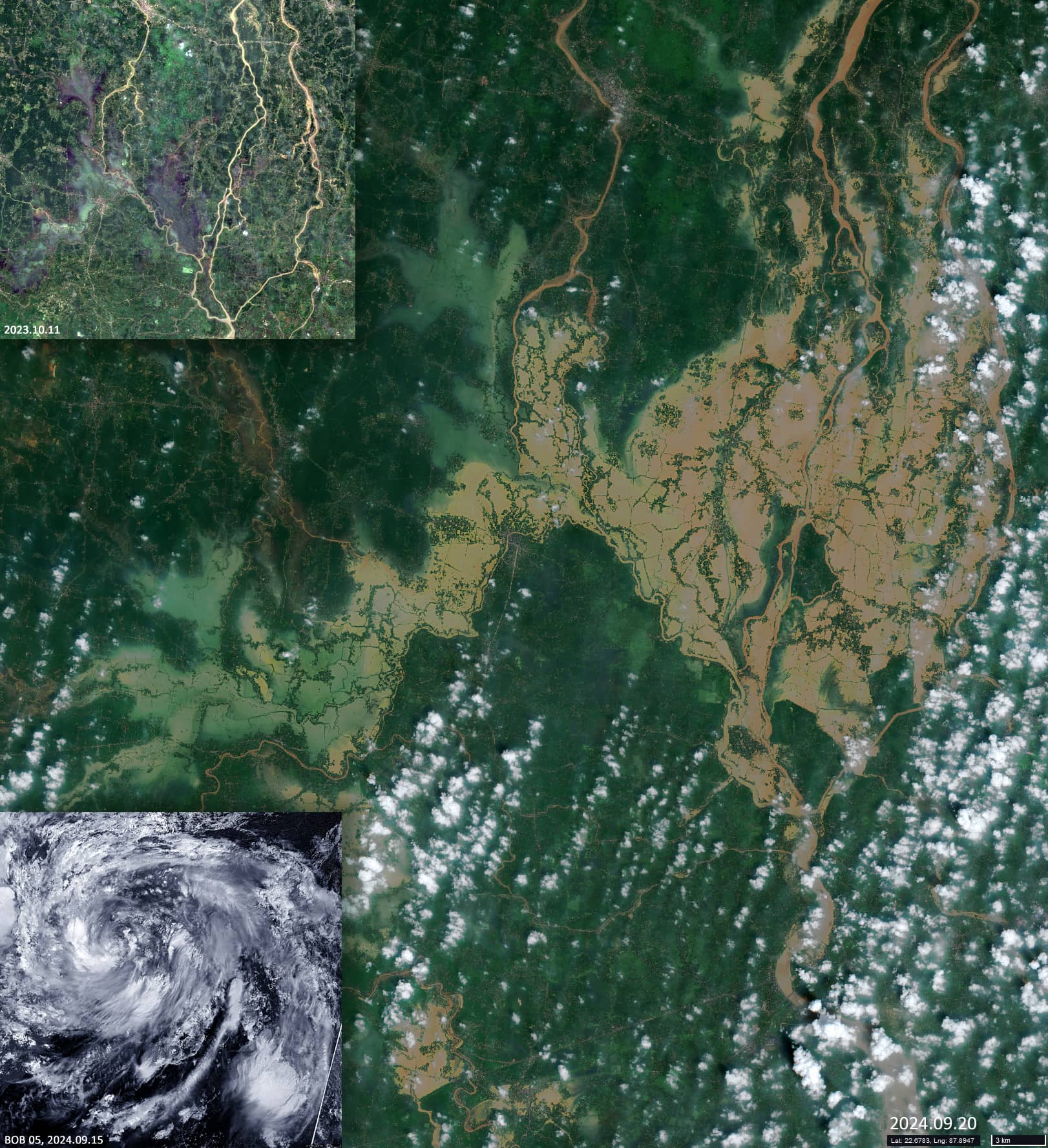
Deep depression BOB 05 developed from a broad cyclonic circulation area, partly associated with the remnants of a typhoon in the western Pacific Ocean and became a weak tropical cyclone affecting India and Bangladesh. The heavy rainfall of BOB 05 led to severe flooding, in this case in eastern India in the state of West Bengal (পশ্চিম বঙ্গ).
The Sentinel-2 image (Figure 1) shows the area around the confluence of the Mundeswari River (মুণ্ডেশ্বরী) and Dwarakeswar River (দ্বারকেশ্বর). The Mundeswari is a small river that frequently floods during the monsoon season. Any discharge of more than 2000 cubic meters per second downstream can cause the river to overflow.
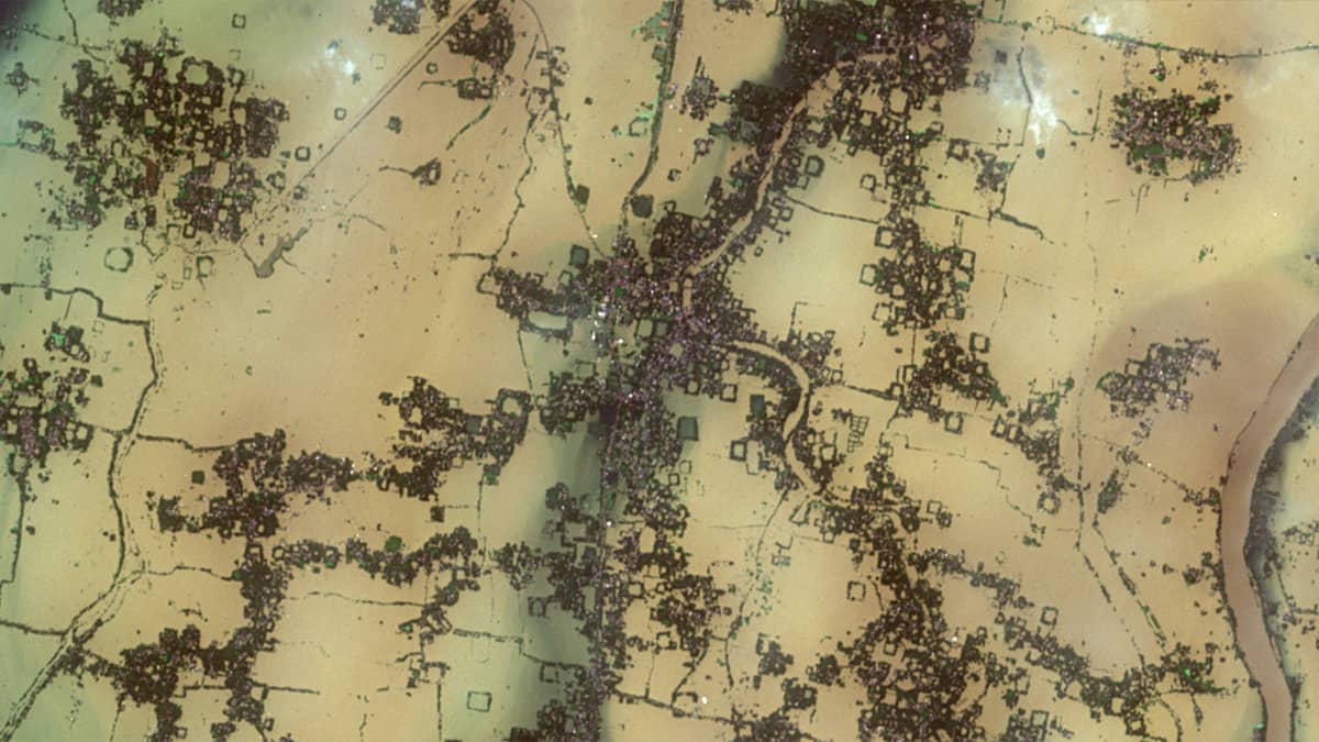
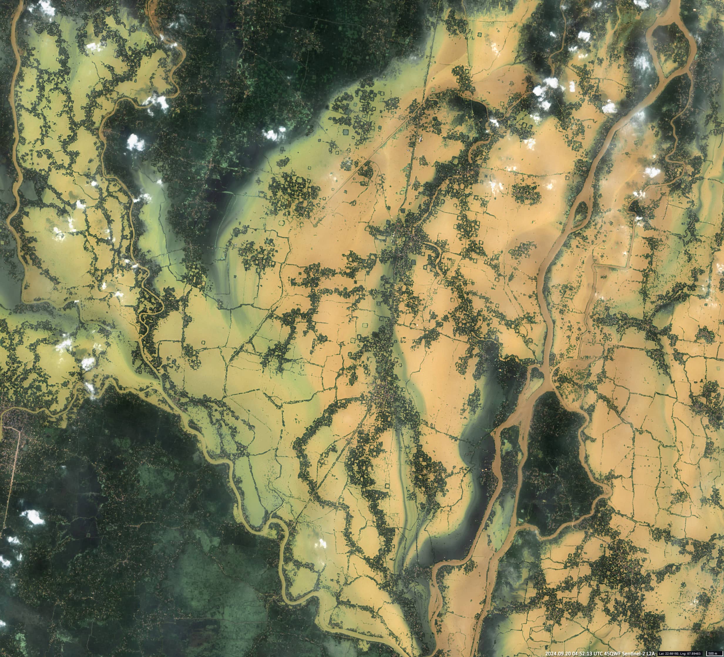
The flooded area around the villages of Natibpur (নাতিবপুর) and Balpai (বালপাই), located on a small, elevated island between the two rivers, is about 500 km2 (Figure 2).
Within a few days, however, the water level had returned to normal.


