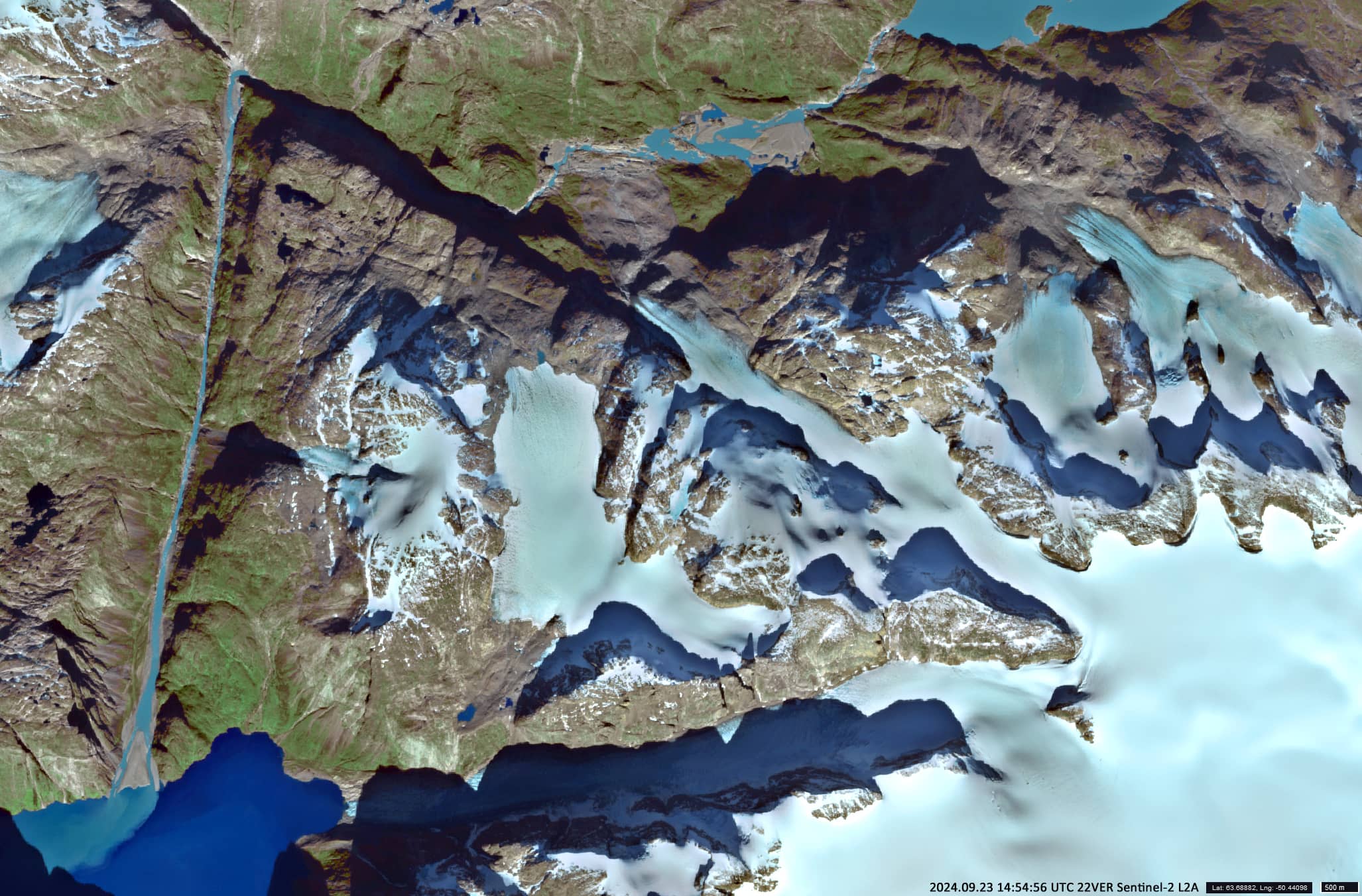
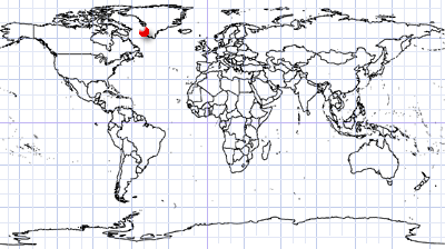
Mysterious triangle in Greenland
Southwest Greenland
Date of acquisition: September 23rd, 2024 | 14:54:56 UTC
Sensor: Sentinel-2 L2A
Coordinates: ca. 63.69°N, 50.44°W
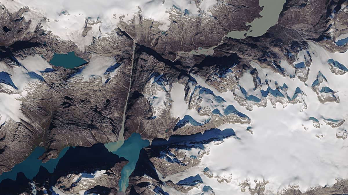
In the relief of Greenland in the municipality of Sermersooq, about 80 km south-east of Nuuk, the largest town in Greenland, a huge triangle can be seen (Figure 1).
It appears that the boundaries separating the structure from other mountains are artificially cut into the rock. There is even a version among ufologists, that these are channels created by aliens, and that this is a “road sign” indicating the landing site for spaceships. Others believe that the structure was created by representatives of an ancient civilization that once lived here in warmer times.
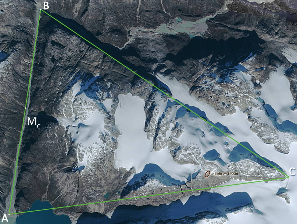
In reality, the triangular structure is quite interesting and unusual in its shape. In the centre is a depression at an altitude of 800-1100 m, which is filled by a glacier. It is surrounded by high mountains along the perimeter of the triangle, with the highest point, H, at just over 1700 metres. The triangle itself is almost isosceles (see GE1 & GE2).
For the sake of simplicity, we refer to the vertices of the triangle as A, B, C, as shown in Figure 2.
The approximately 12.3 km long AC side, , is located in the south and borders a local glacier to the south-east. Along AC, the glacier descends from about 1400 m (the approximate elevation of point C) to sea level in the Alanngorlia Fjord, which in turn is connected to the Labrador Sea by the Amitsuarssugssuaq Sea Channel. The angle BCA is roughly 45°. The above-mentioned point H is located near this boundary, approximately 3.5 kilometres west of point C.
The BC side »13.3 km long is located in the northeast. Part of it, adjacent to the point B, is washed by the Qôrorssûp Kûgssua river, along the other, larger part another branch of the above-mentioned glacier descends. Point B is about 270 – 290 metres high. Angle ABC is roughly 75°.
Of interest is the western side AB, about 9.1 km long, which can be seen as the base of the triangle. It consists of a deep, almost straight canyon, especially in its northern part, adjacent to point B. The depth of the canyon can reach 800-1000 metres. Its U-shape indicates that in the past a glacier also flowed along it. Today the river Qôrorssûp Kûgssua flows along its bottom. It carries water and sediments from the 59.4 km² Isortuarsuup Tasia lake, to the northeast. It descends Along AB to sea level (point A) in Alanngorlia fjord. Angle BAC is roughly 63°.
It is worth noting that right in the middle of the base of AB, a local glacier flows down from the mountains, turning into a waterfall.
The area of the triangle ABC is about 52 km2.
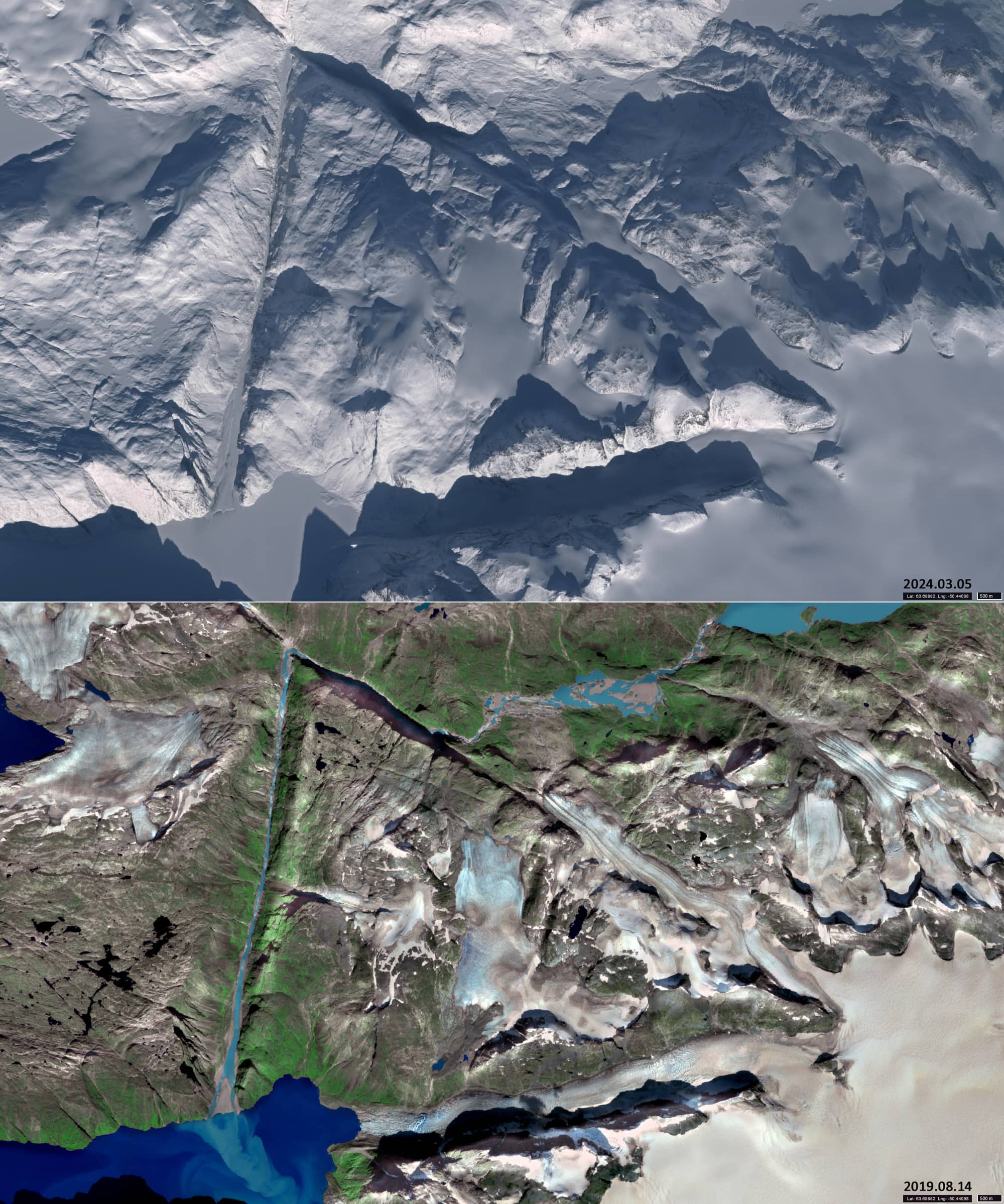
The Sentinel-2 images in Figure 3 show situations where ABC is completely covered with snow and the most free of it.