The Loop Current
Caribbean | Yucatan Peninsula | Gulf of Mexico
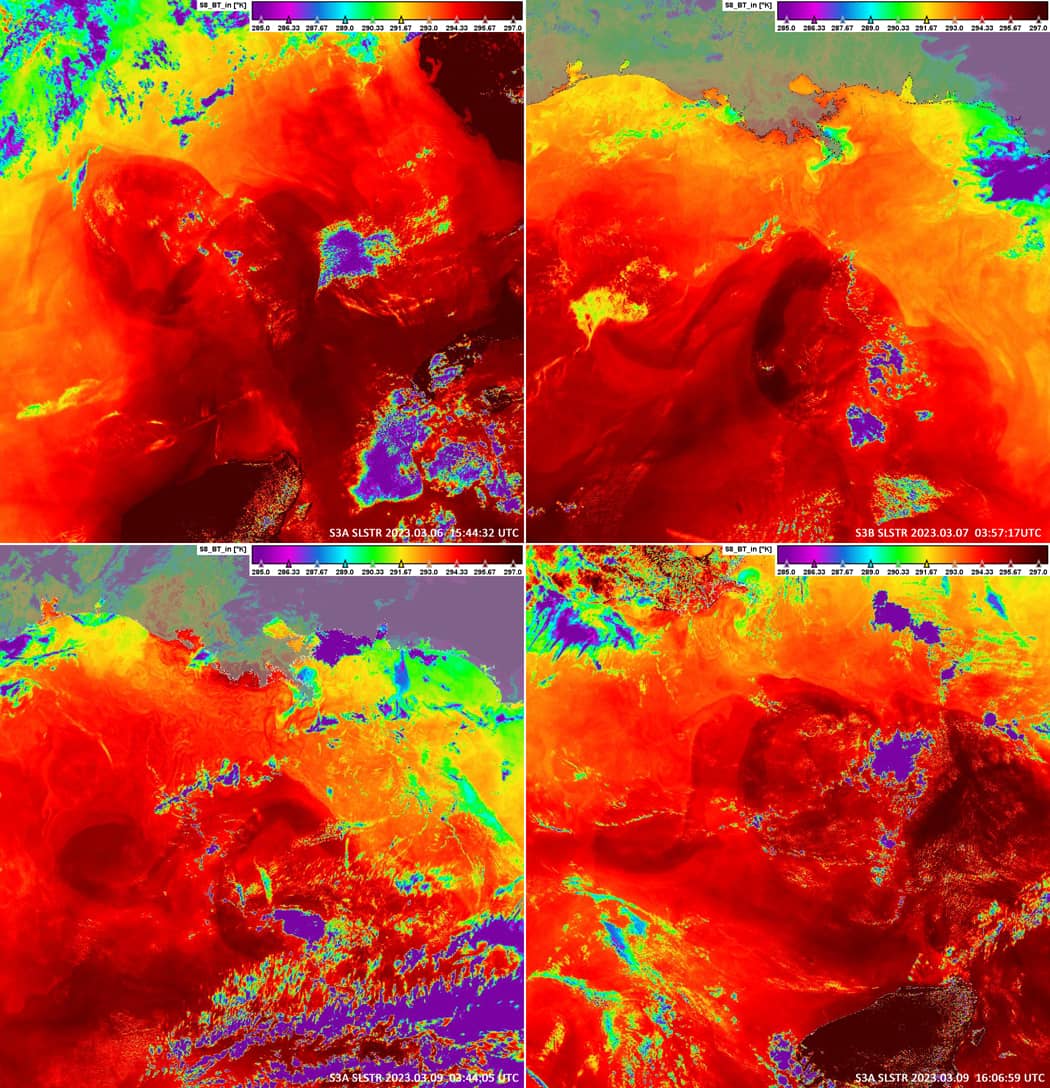
Date of acquisition: March 6th, 2023 | 15:44:32 UTC
Sensor: Sentinel-3A SLSTR
Coordinates: 25.9°N, 88.8°W
The Loop Current transports warm Caribbean water from the Yucatan Channel between Cuba and Mexico into the Gulf of Mexico. The current then flows north, makes a southeasterly loop towards the Florida Straits, and enters the Atlantic Ocean between the Florida Peninsula and the Bahamas where it becomes the Florida Current. The Loop Current is with a speed of about 3km/h one of the fastest currents in the Atlantic Ocean. It is about 200 – 300 km wide and 800 m deep. In summer and autumn, the Loop Current forms 80 – 150 m deep layers of very warm water, which can serve as important source of energy for hurricanes.
The Loop Current almost regularly “throws off” rings of warm water every 6 – 11 months that exhibit anticyclonic circulation, i.e. a clockwise rotating ring that separates from the main current. This ring of warm water slowly drifts west-southwest towards Texas or Mexico with a speed of about 3 – 5 km per day. This structure is called the “Loop Current Eddy” and can serve as a source of additional energy for the intensification of hurricanes that cross the bay.
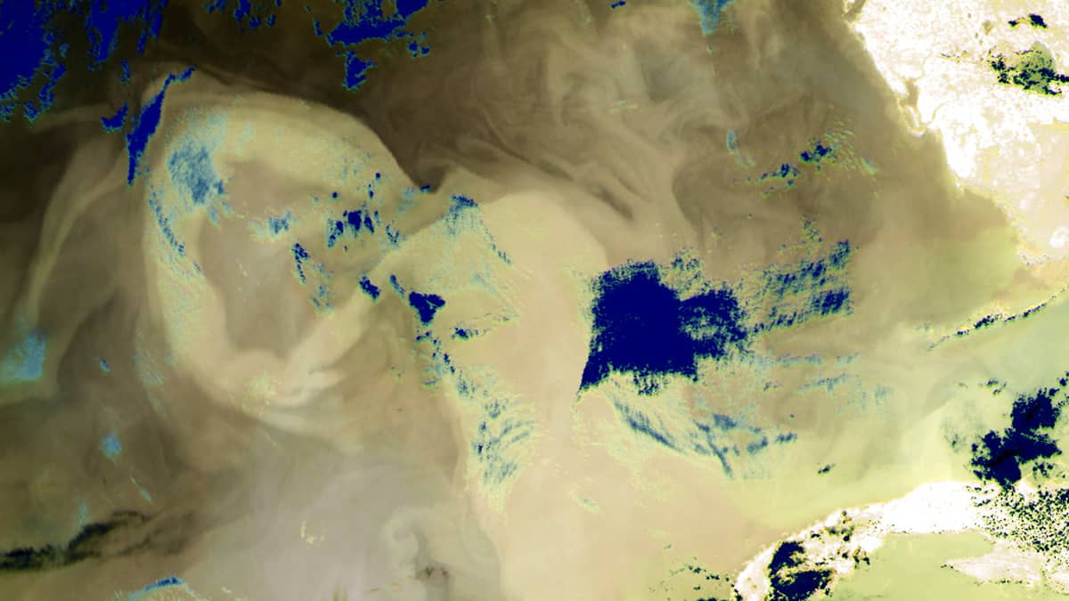
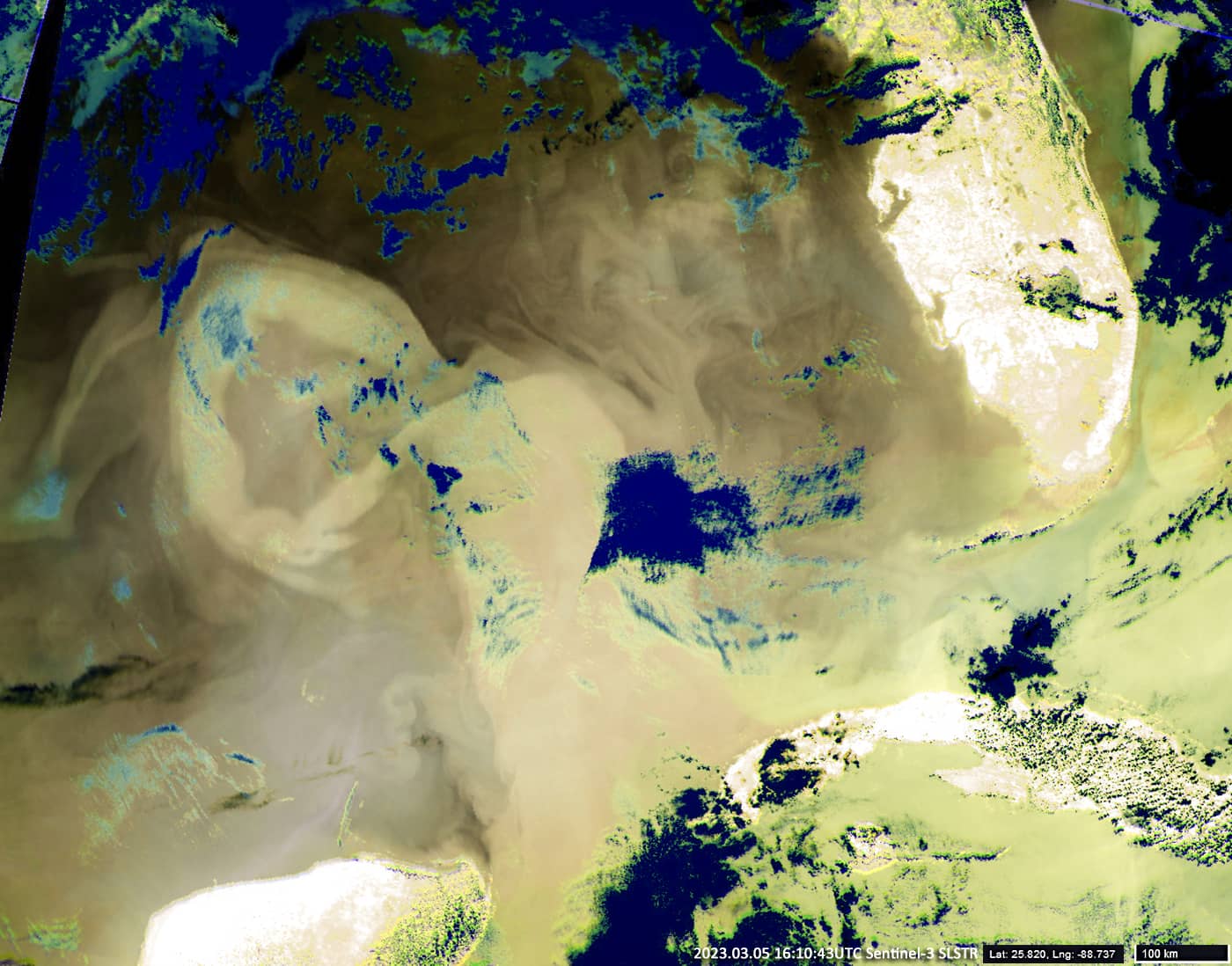
The image from the satellite SLSTR Sentinel-3 shows the beginning of the formation of such a ring. It began to appear on February 20th – 21st and formed on March 5th – 6th. Since then, it has not changed its location (approximate coordinates of the center of the ring: 25.85°N, 88.8°W). The diameter of the ring is about 330 km and the thickness of the ring approx. 60 – 80 km. The water temperature in the ring is ca. 26 – 27°C; it is about a 1°- 1.5° colder inside the ring and 1.5° – 2.5° colder outside.


